
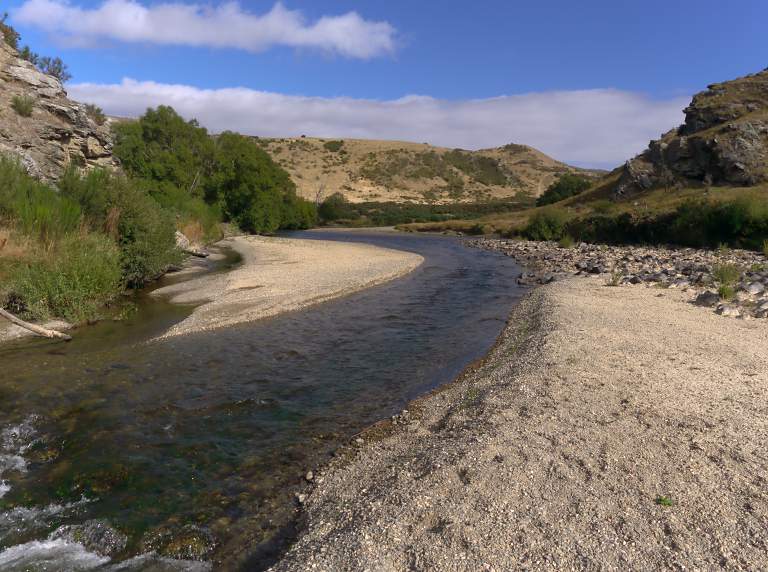
We awoke in our cottage at Peter's Farm to a golden morning and no wind.
|
|
| Morning View |
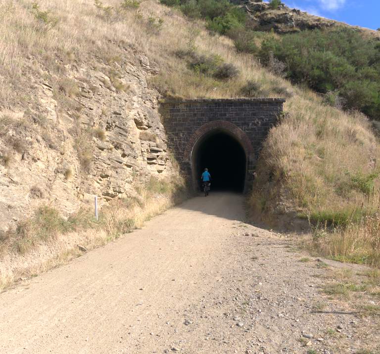
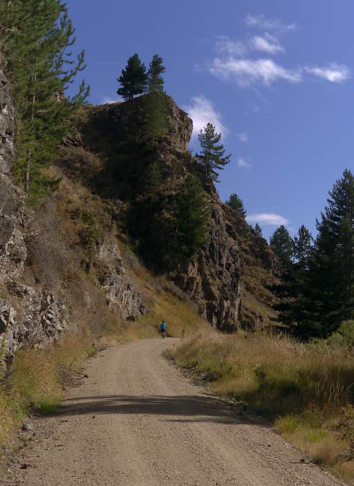
After breakfast we drove Peter's car back to Hyde, locked it up at the hotel, hopped on our bikes and continued up the trail. The wind had disappeared overnight and the riding was more comfortable. In short order we came to the Hyde Tunnel.
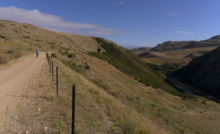 |
| Hyde Tunnel Approach |
 |
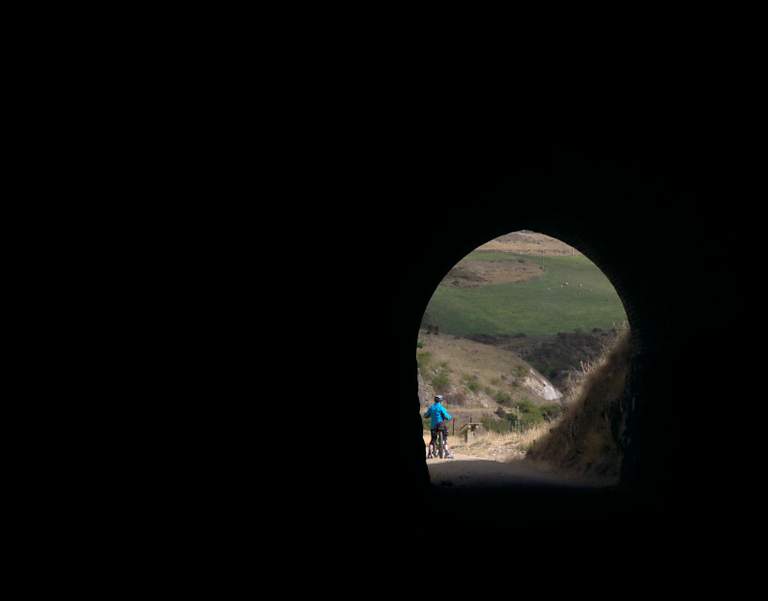 |
| Hyde Tunnel | |
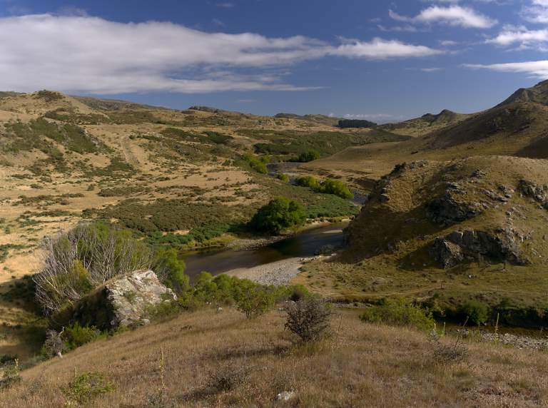
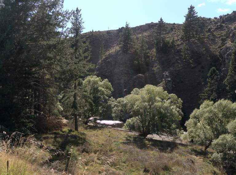
On the upstream end of the Hyde Tunnel there is an abandoned diversion tunnel in the Taieri River. Early European settlers salted the river with gold and then sold mining claims to unsuspecting Chinese immigrants. The Chinese built the diversion to aid in their mining, which soon ran out. We hiked down to check it out.
 |
| Hyde Diversion Tunnel Area |
 |
 |
The tunnel is still there; some of the river still runs through it.
 |
| Hyde Diversion Tunnel Entrance |
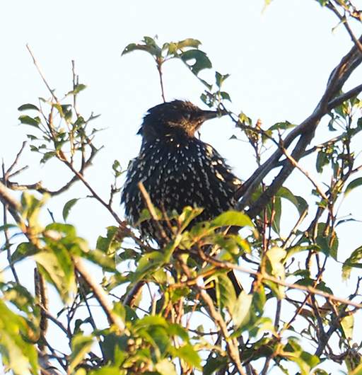 |
| Starling (Sturnus Vulgarus)
|
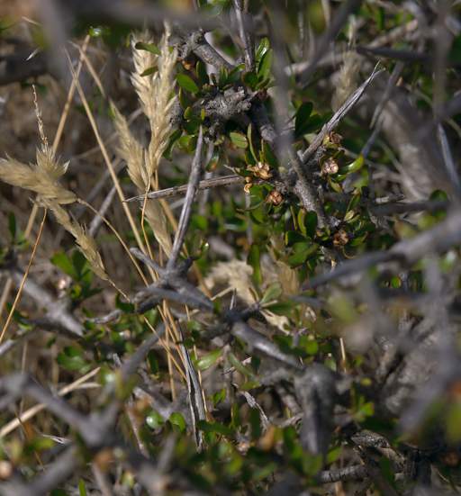
As in many dry climates, some of the vegetation is covered in spines. We found lots of what people said were spider cacoons on some of the bushes.
 |
 |
| Thorny Bush | Spider Cacoon |
 |
 |
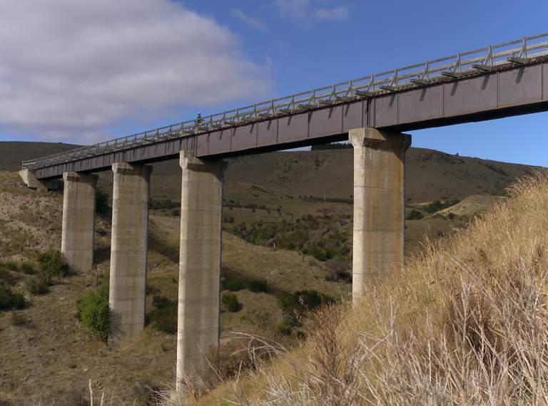
| Prices Creek Viaduct | |
 |
 |
 |
We came to a pull-off with a number of rectangular blocks with holes drilled in them. The Dunedin Railway station was built from 1902 to 1903 using basalt rock quarried from this area. The rock was quarried by drilling a series of approximately 1" diameter holes into the basalt in a straight line, hammering dry wooden pegs into the holes and soaking them with water. The pegs were covered with cloth soaked in water to prevent evaporation and keep them wet so they would swell. In about twelve hours the rock would split. The blocks around the pulloff had been split out that way; some had the original holes still in them, apparently from unfinished work...
 |
 |
 |
 |
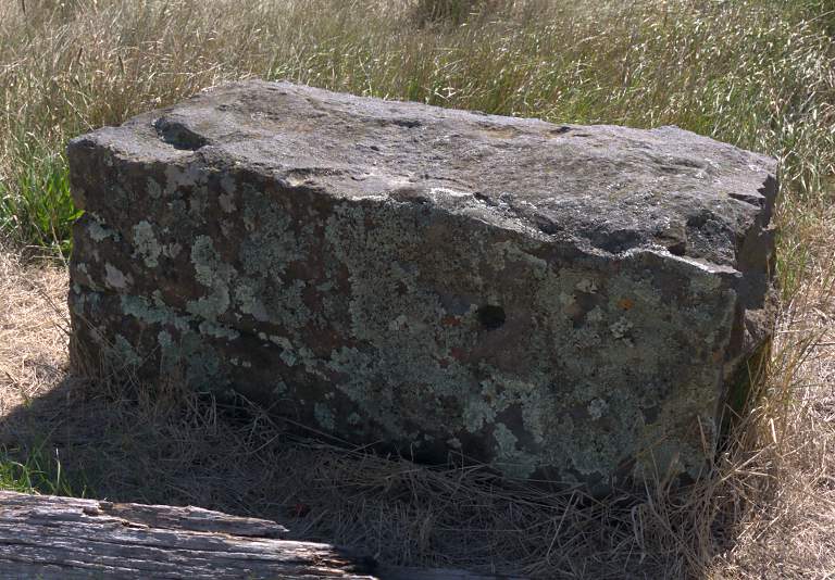 |
| Rock Breaking Explanation | Broken Rocks | Broken Rock with Hole |
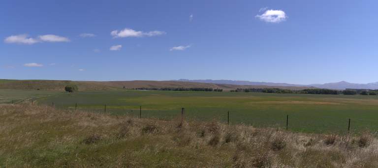
We were slowly gaining elevation and the countryside was opening up even more.
 |
 |
 |
| Taieri River Bridge | |
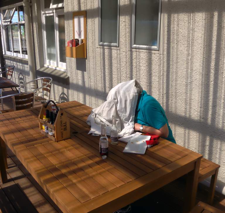
We stopped for a bite to eat and a cooling drink at the Waipiata Hotel. Our dessert was uninspiring, as was the waitperson (owner/operator?).
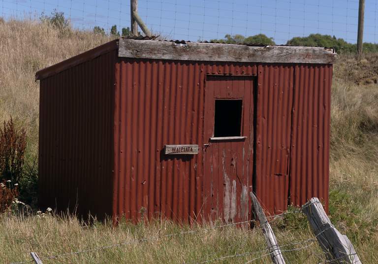
According the placcard in the ganger's shed, the town was originally named Komako but the residents later requested a change to Waipiata ("Shining Water"), a name originally given to a nearby school. The town was dependent on the railway; livestock was shipped out by rail, and groceries and mail arrived the same way. It once had the largest sheep yards in the Central Otago region.
 |
 |
| Waipiata Gangers Shed | Shade To Text By |
Near Waipiata I saw something I've never seen before, a power pole with a crook in it. I guess good poles were in short supply.
 |
| Crooked Telephone Pole |
Everywhere we went we found rockwork one could be proud of. It must be a real pleasure to work with such accomodating stone.
 |
| Culvert Rockwork |
The terrain from Waipiata to Ranfurly was pleasant but uninspiring; it reminded me somewhat of parts of western Colorado. We were welcomed into the town of Ranfurly by a line of goatskins on a fence.
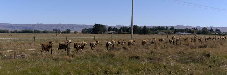 |
| Goatskins |
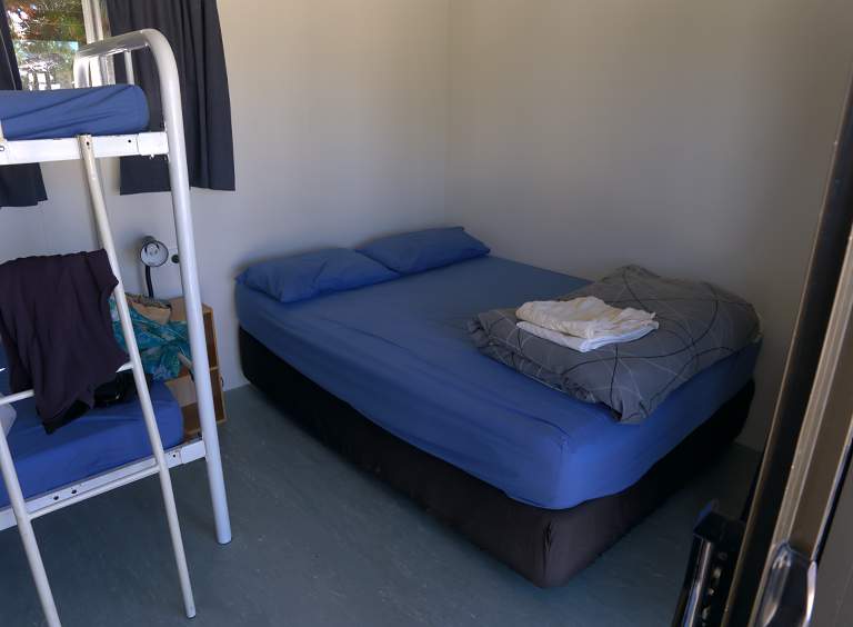
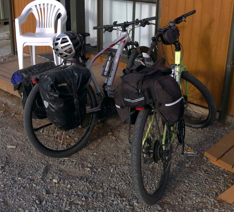
We stayed in a "cabin" in a campground in Ranfurly. It was sparse but just what we needed, a simple shelter.
 |
 |
 |
| Our Cabin at Ranfurly | Bikes | |
Ranfurly has a life-sized statue of John Turnbull Thomson, New Zealand's preeminent surveyor. He surveyed much of the South Island, naming many of its geographic features, and established the standards for a uniform surveying system throughout New Zealand.
 |
| John Thomson Statue |
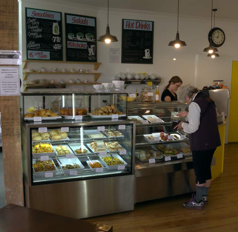
We stopped in the Maniototo Cafe, where we found they made smoothies. We ate there the next morning for breakfast as well. Yum!
 |
| Smoothies |
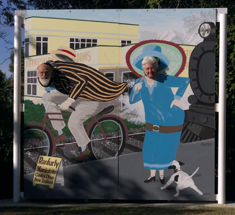
Ranfurly is known for its 1930s era Art Deco buildings, and hosts an annual festival celebrating its heritage.
 |
| Art Deco Cut-out Signboard |
After wandering around town a bit more, we headed back to our little cabin and turned in. On day three we would go over the hump, from Ranfurly to Oturehua.
This page last updated on 2016-11-29.
![]()