
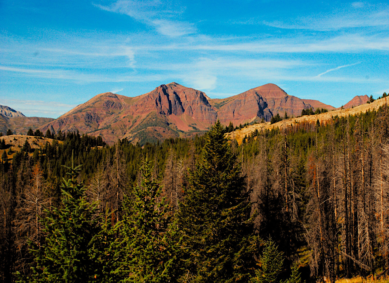
Red Butte
After our previous day underneath the Chinese Wall, we could hardly believe our good luck & mdash; five days of perfect weather. We'd had elk bugling and mountain goats on the wall, and nothing to complain about except maybe our old bones.
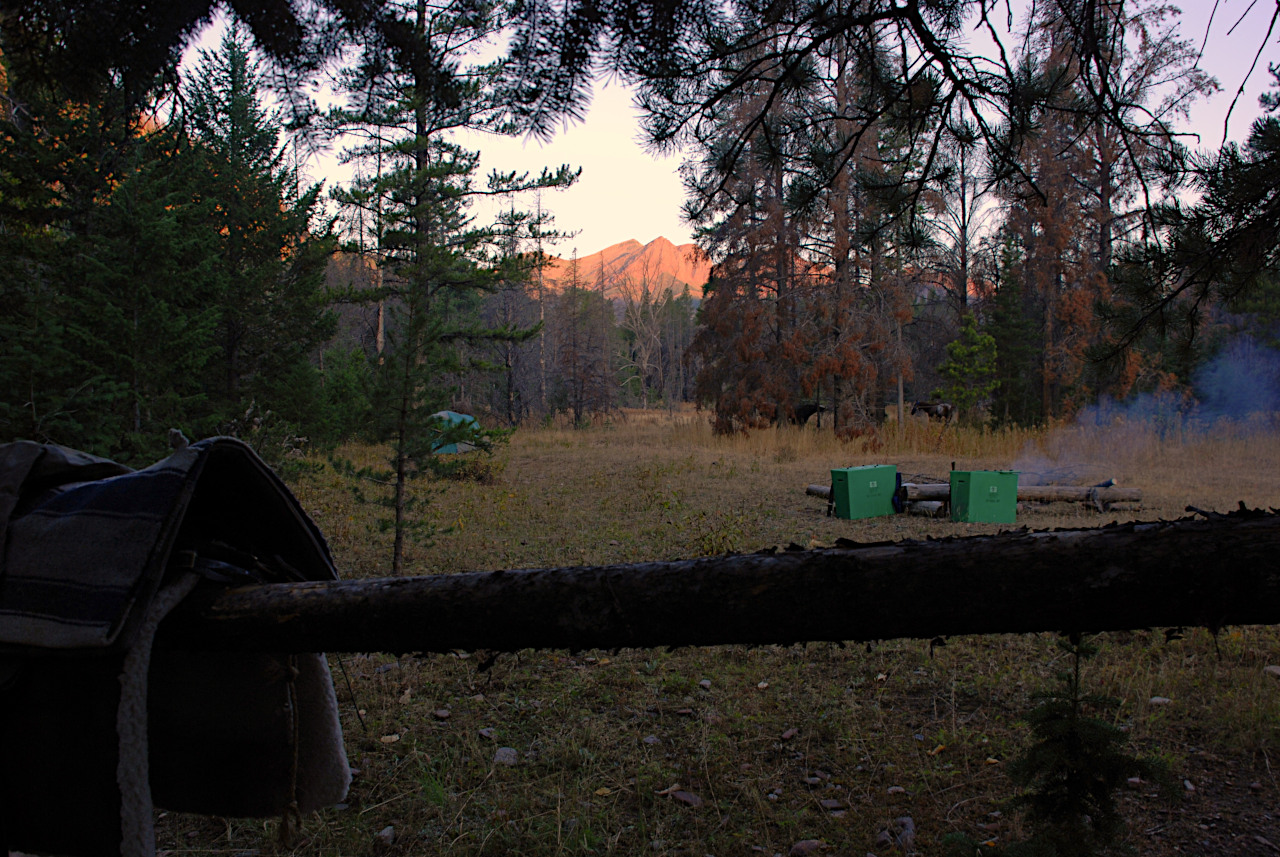
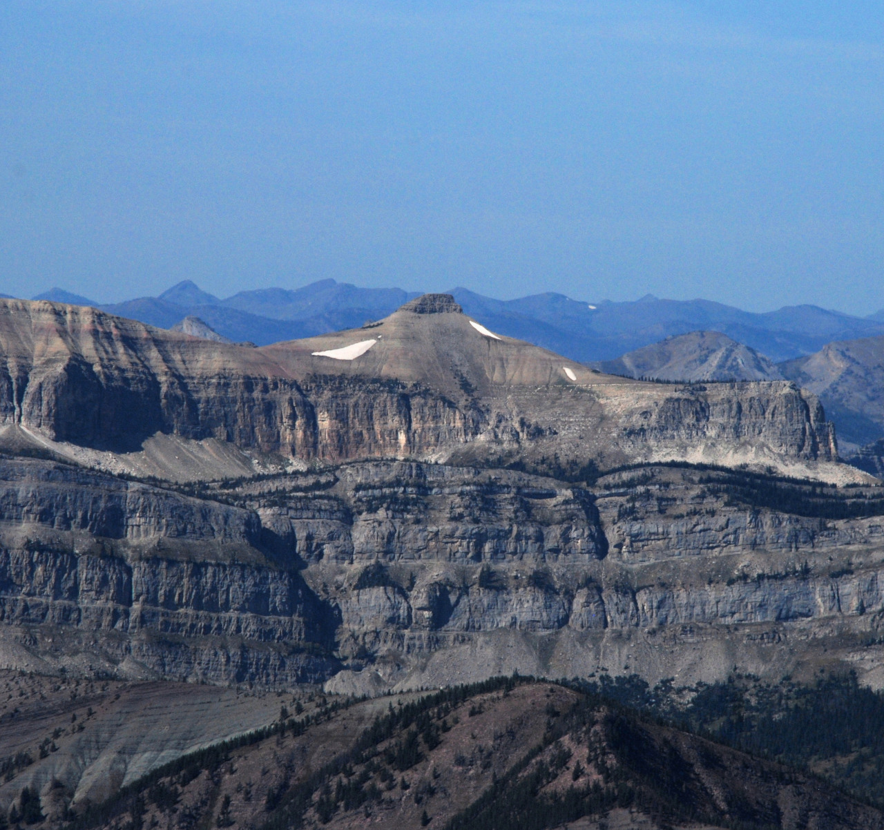
We packed up after breakfast and continued down the West Fork of the Sun. Our goal was to camp on the river near of the trail up Prairie Reef. I wanted to try some fishing, and we really wanted to enjoy the view from the top of Prairie Reef. I had tried once before, and been rained and snowed out. The obvious landmark on our way downstream was Red Butte. It's big, and red. Duh. There's a cool little puddle called Hermit Lake hidden up there in a hanging cirque. We weren't planning on exploring over that way, but it was fun just to know it was there.
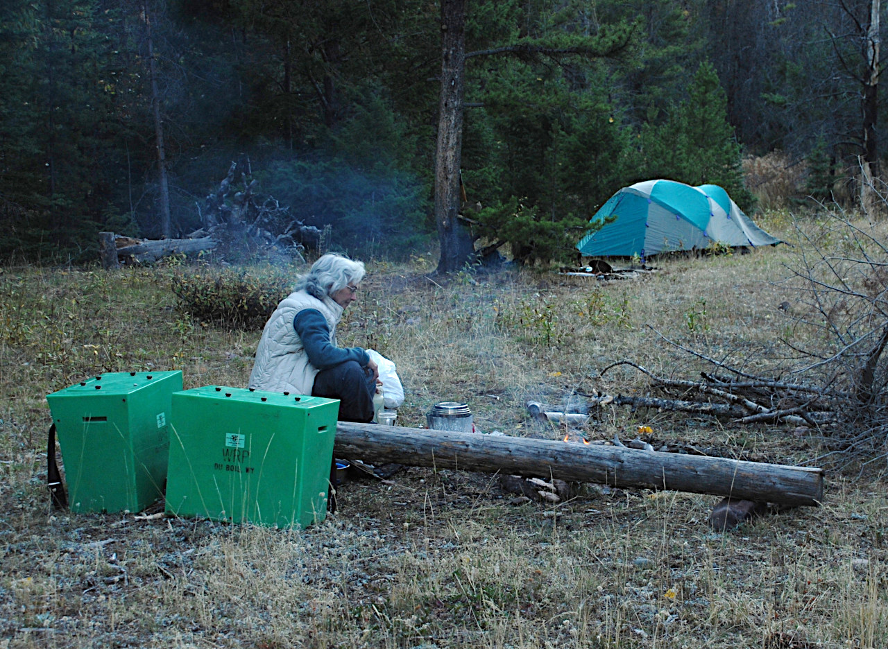
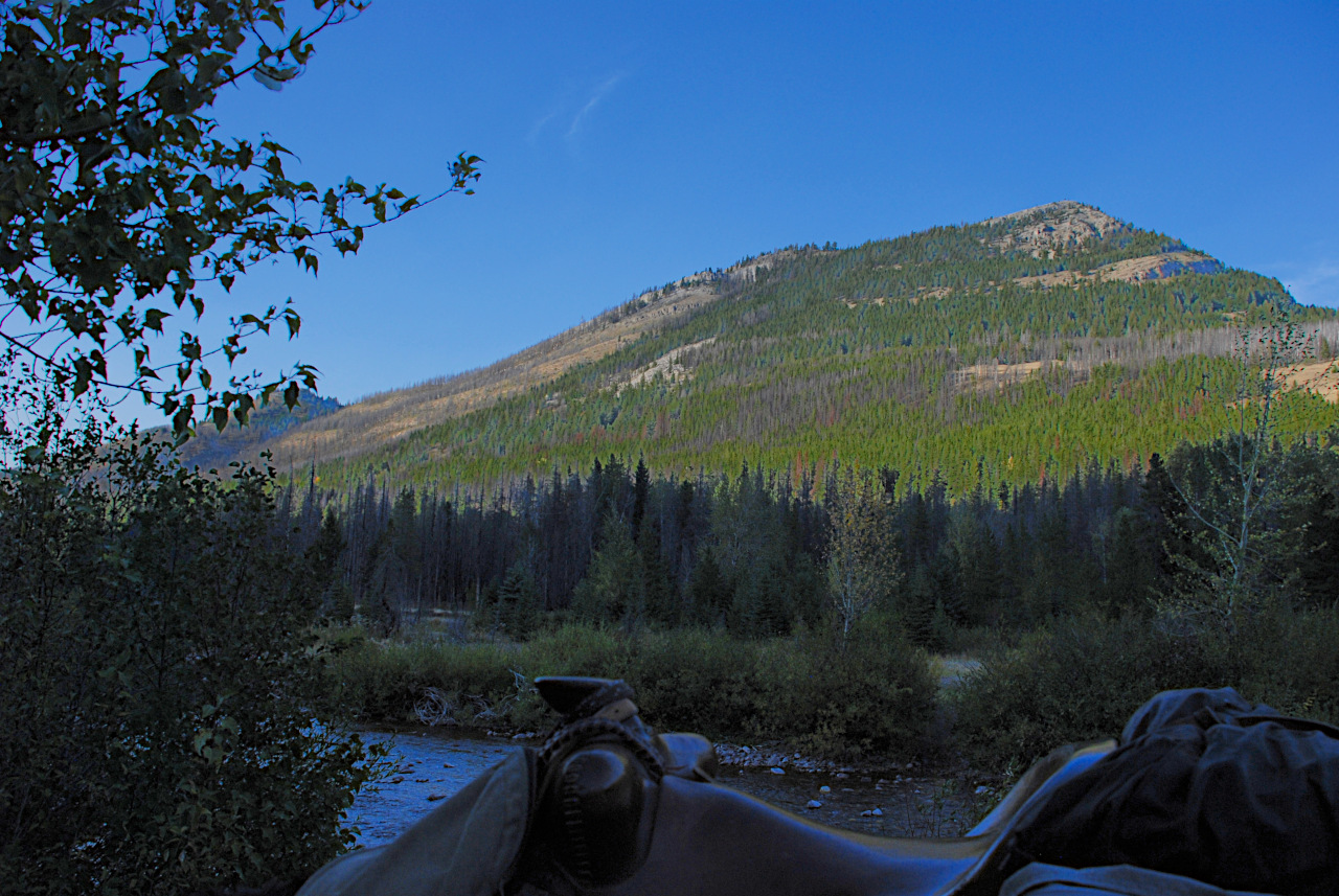
We found a nice secluded camp by the river with views of Red Butte from the tent and the kitchen and plenty of grass for the horses. My pants had ripped in a couple of places, so Dona was nice enough to sew them up.

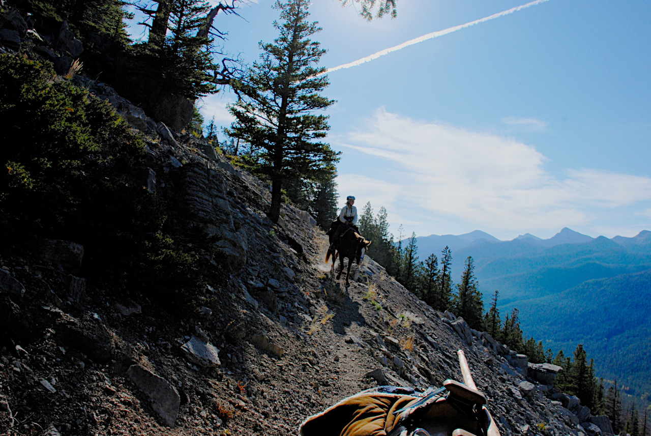
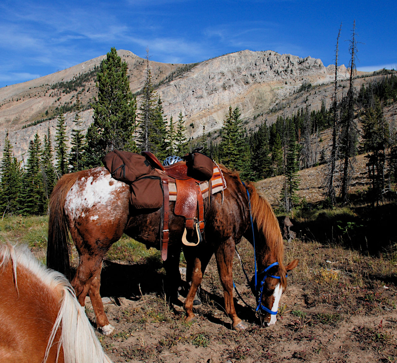
We awoke to elk bugling off in the timber. Our plan was to ride as far as we could up Prairie Reef, then hike the rest of the way. I knew you could ride clear to the top, but didn't know if the horses would be up for it. Sambo would for sure, but Sky's feet were sore. It's about 3500 feet of elevation gain in about four miles. Not awful, but a lot of steady up.

We had just left camp, crossed the river, and turned off onto the trail up Prairie Reef when we came to a tree across the trail. I discovered I had forgotten to put my saw back on my saddle. That was pretty fortunate, I thought; we could have gotten half way up and then we would have been in a bind. I rode back and got it; we never needed it again, but you never know.
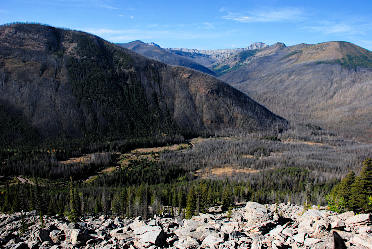
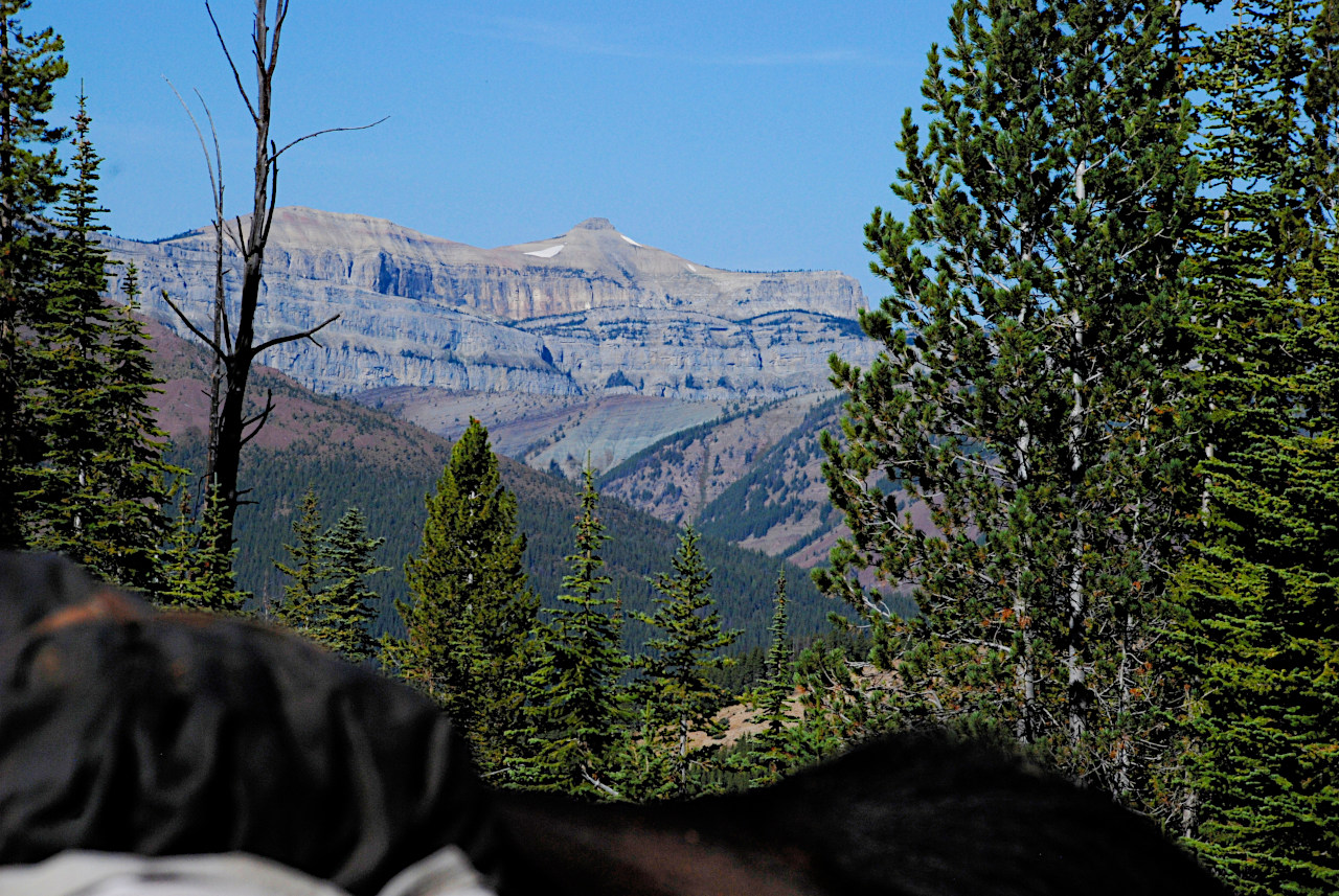
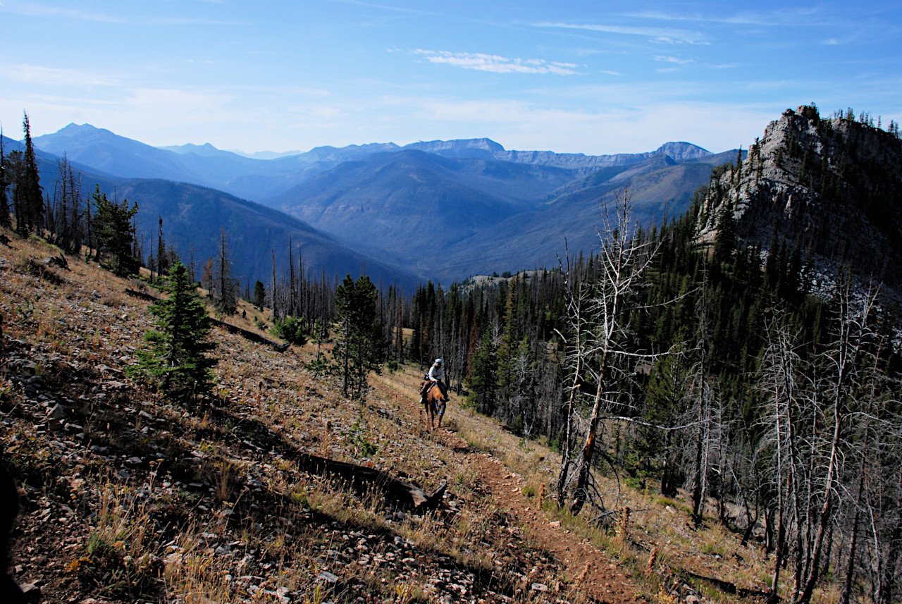
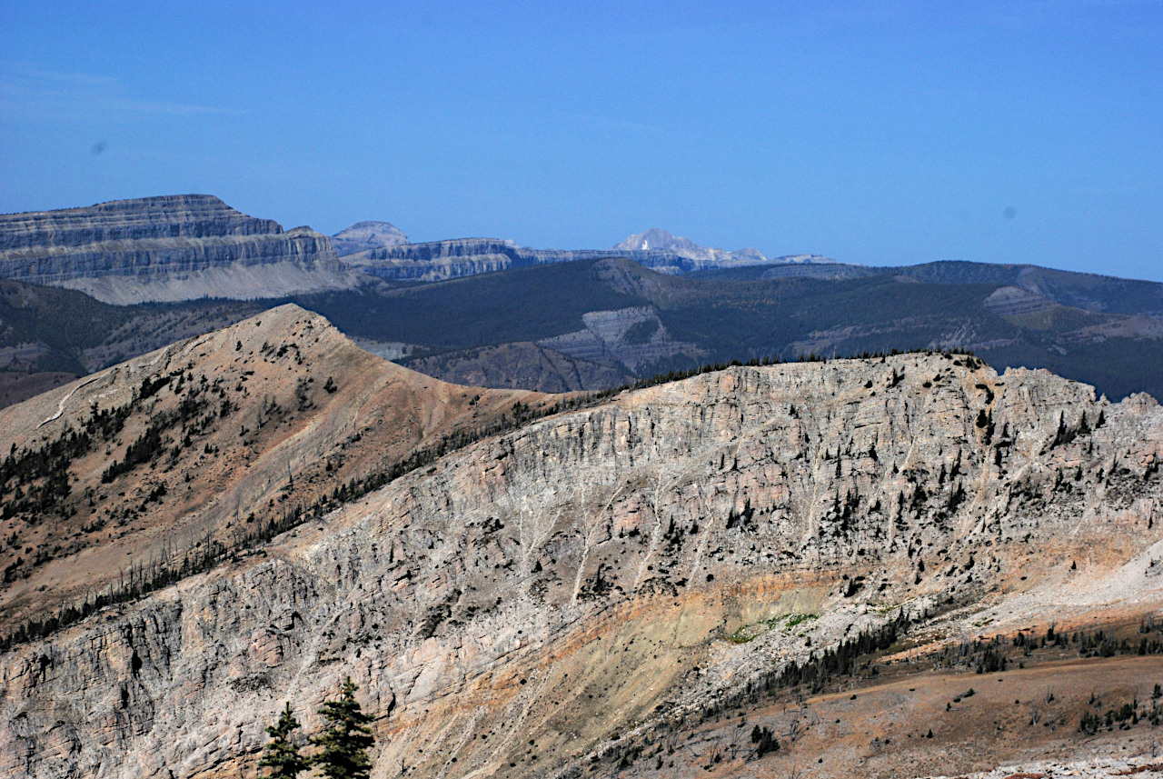
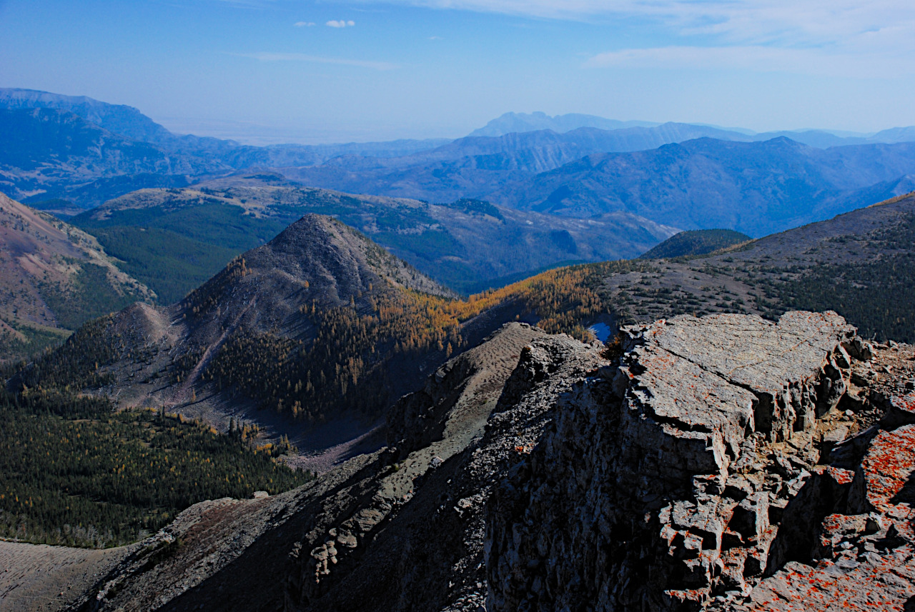
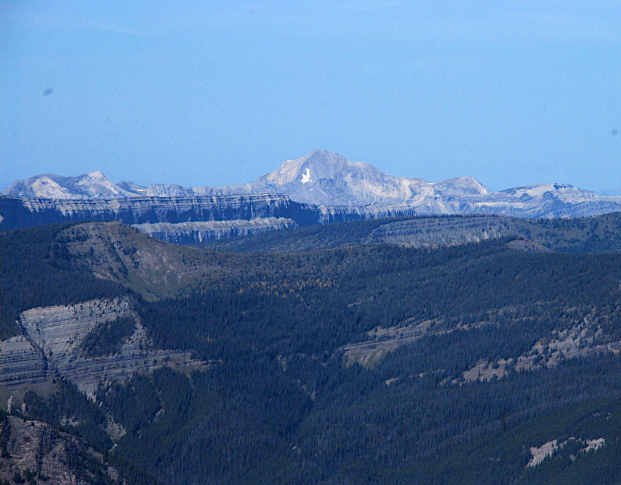
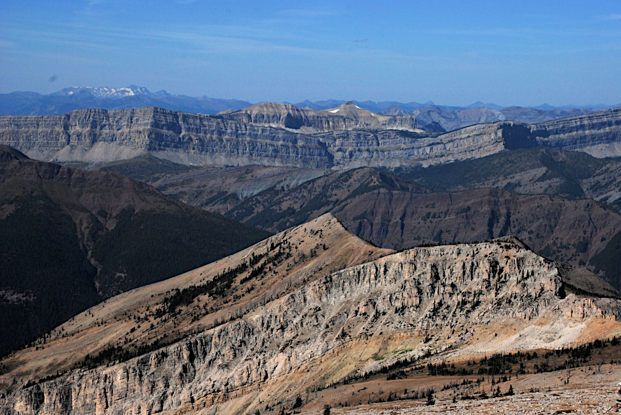
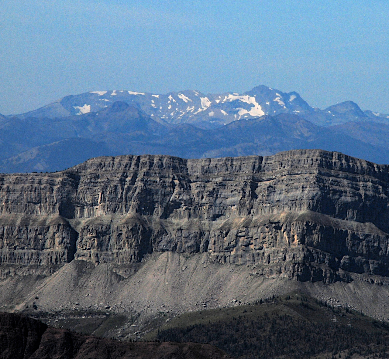
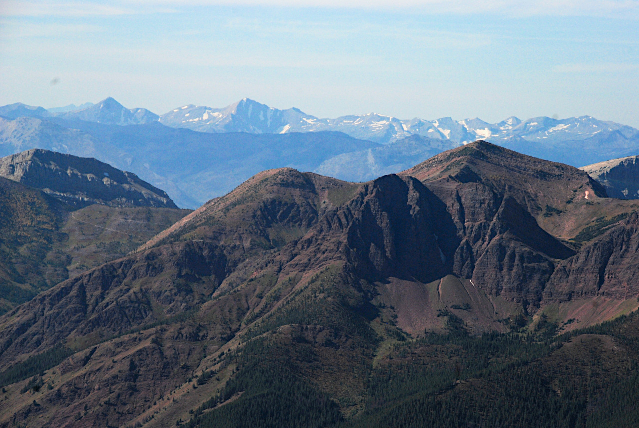
Going up Prairie Reef on a nice day is a real treat. As you get higher things keep popping into view. There's one mountain range after another, and they seem to go on forever.

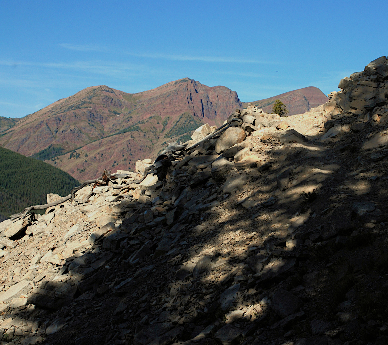
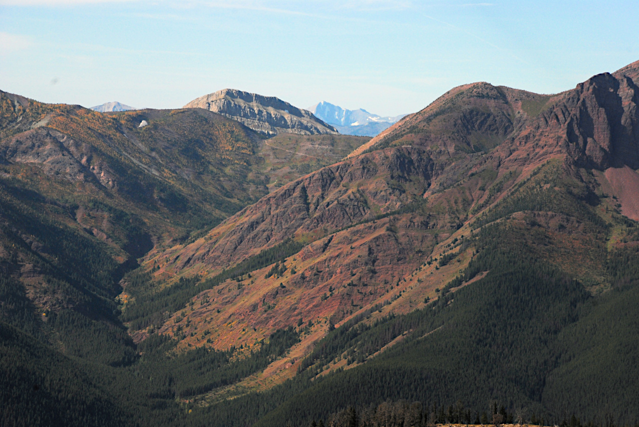
We had a good view of White River Pass just to the South of Red Butte. I've ridden up to the pass from this side and explored around the back side of Red Butte to Hermit Lake, but I've never been down (or up) the other side. I've been to the top of the divide just north of there, on Haystack Montain.
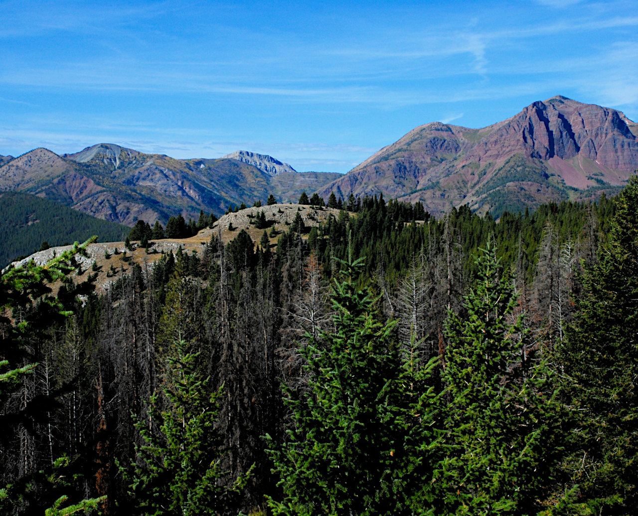

Sphinx popped into view, standing guard above the wall.
We stopped for a short rest about half way up. Off to the north I noticed some weird geology -- it looked like snakes crawling up the mountain's back.
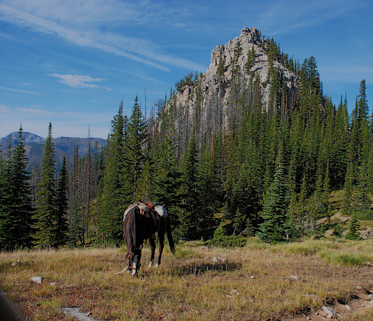
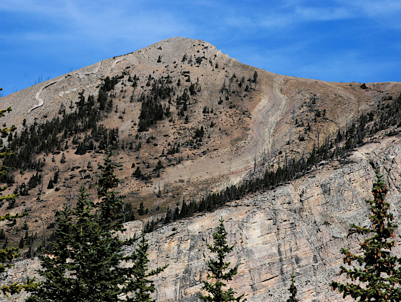


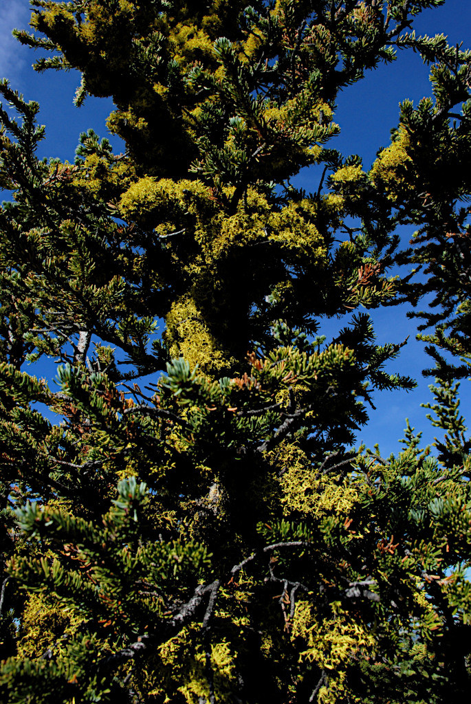
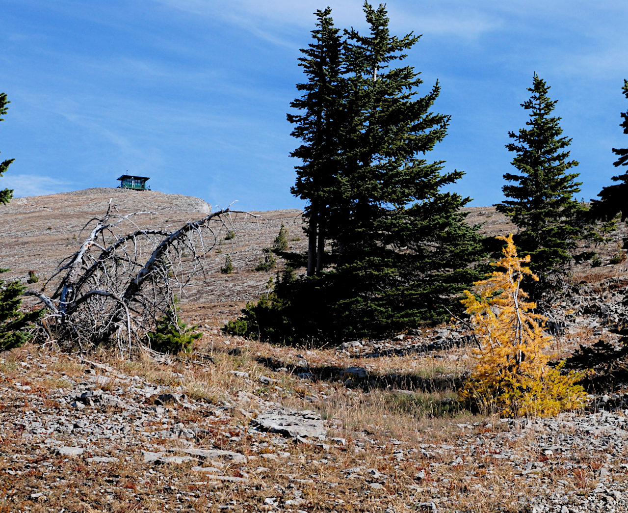
As we topped the last rise and Silvertip came into view, we could see the last larch tree, and then the last tree, and then the fire lookout on the top. I had been thinking we would tie our horses in the last grove of trees and walk to the top. But since I knew outfitters took people on horses up to the top I figured there was probably some kind of hitching rail outside the lookout. We'd come this far and the horses were still ok, although Sky was pretty pooped and sore. So we continued on up.
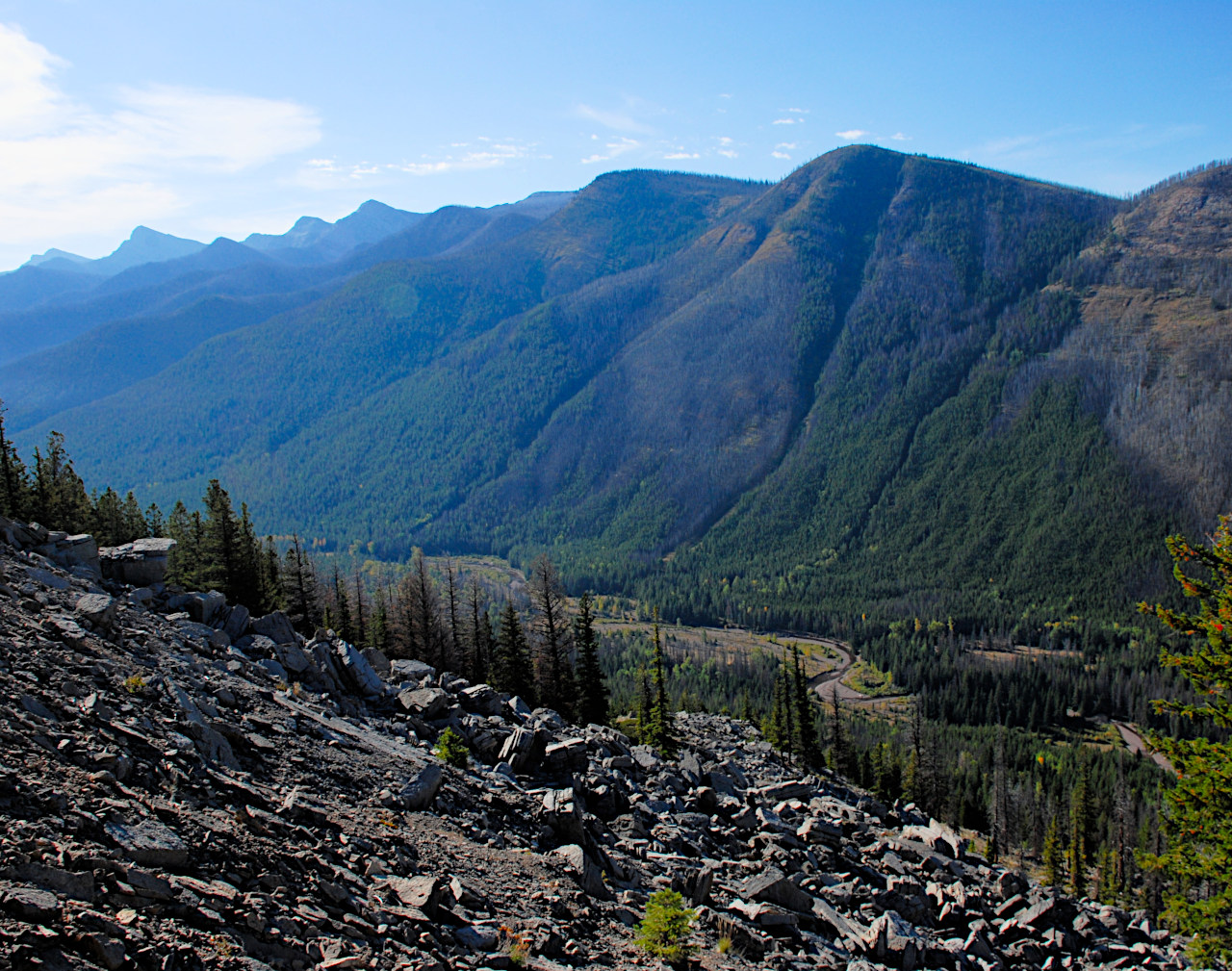
One of the great attractions of the Bob Marshall Wilderness complex is that it is a large, roadless area. In most of the places I have lived, wilderness amounts to small "pimples" of mountains, circumscribed by roads. In these places, almost every time you get to the top of a mountain and look out to the horizon, you inevitably see valleys through which roads wind their way and the inevitable human habitation and disturbance lurks. From the top of Prairie Reef, there is not a road anywhere. The valleys between the mountain ranges contain rivers, and foot/horse/animal trails, and that's about it. It's about thirty miles from east to west, and about a hundred from north to south. I can ride out the back door and go north for a hundred miles without crossing a road. Someday I would like to do that...
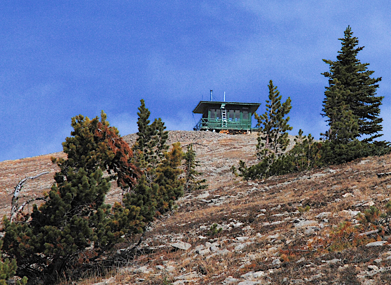
Wow! As you get to the top, the bottom just drops out from under you. It's like riding up to the edge of the world. And there's no hitching rail. The lookout is manned, and this summer the resident fire eagle-eye was a young woman named Kelly Aline. She told us if the horses didn't pull back we could tie them to the lookout railing. They were tired enough and seemed unlikely to spook, so we did just that.
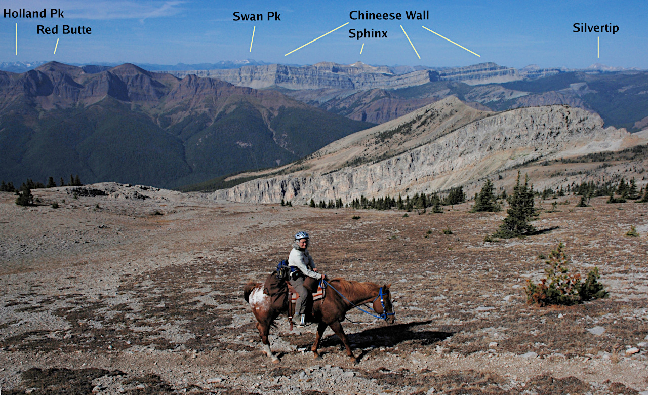
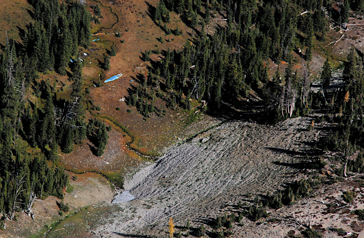
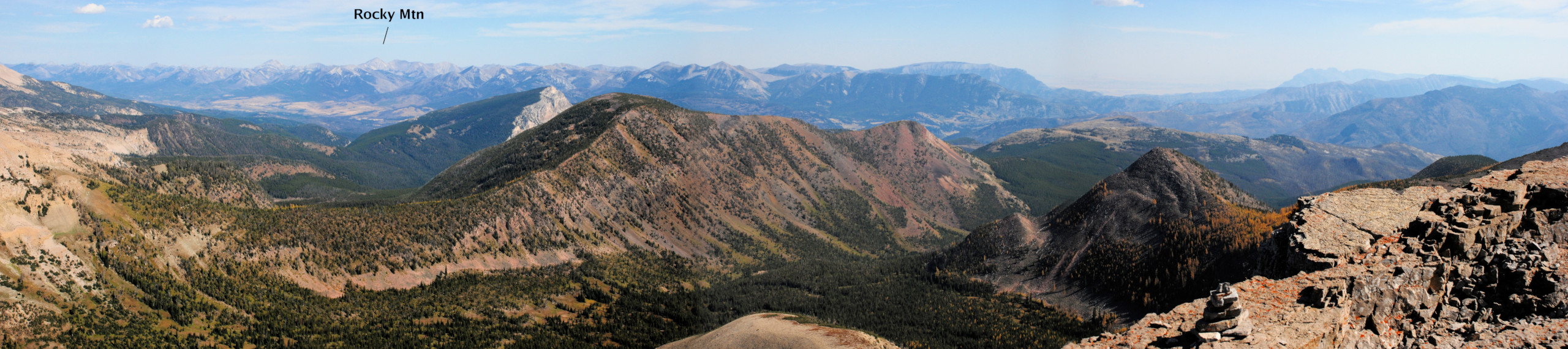
The wind whistles along pretty steadily up there. Kelly pointed out a plane wreck almost directly below the lookout, then we went around all the peaks to get them straight.
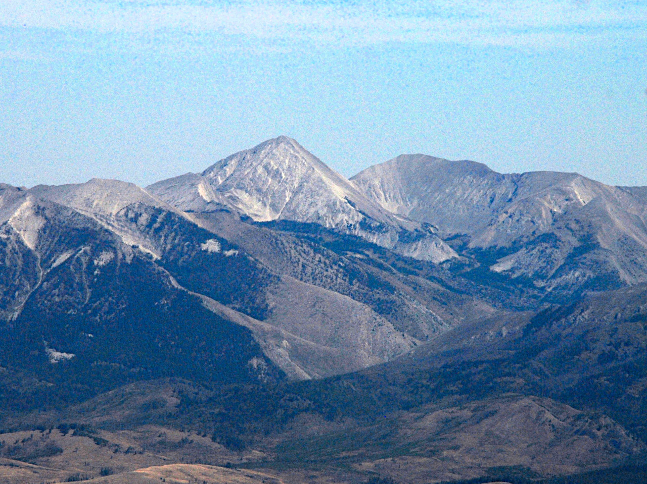
The highest mountain in the Bob Marshall Wilderness complex is Rocky Mountain, 9392 feet elevation. We could see it to the Northeast, on the far side of the valley of the North Fork of the Sun River.

We could see smoke plumes to the south from a huge controlled burn the Forest Service was doing along the South Fork of the Sun, and the burn over in our backyard on Macabe near Monture Creek. We could see plumes from the Big Salmon Lake fire, and a couple of others. The fire break for the big prescribed burn to the south was just the ridgelines. We could see a plume where the fire had gotten out of it's prescribed area, and a chopper was doing a swing around the fire to see how it was going.

Kelly invited us in to look around, and apologized for the mess. It was her next to last day, and she was packing everything up for the season. She normally works on a hotshot fire crew, but she had an injury this year so she was doing lookout duty instead. I learned that the position was open for next season, which got me to thinking. Wow! When I was 16 I would have killed for a summer up there. I'd still like to do it; I could get a lot of banjo practice in. And see some pretty amazing lightning storms, wildlife, and who knows what else. She'd been up there since July, five days on and two off, with a re-supply every two to three weeks. Wood heat, a propane frig and stove, and radio contact to three other lookouts. But life is getting shorter, and there are so many things on my list...


Kelly said she got NPR on the radio from Missoula. I suspect she's their most distant listener, assuming you don't count streaming on the internet. She showed us pictures of goats right outside the lookout; and sheep and a griz. We were visitors number 110 and 111 for the summer, probably the last ones. It took us three hours and fifteen minutes to get to the top.
After lunch and our visit, we headed back down. This time Dona hiked. It was a bit slow going downhill, but she had her trusty walking stick to help out.


Back in camp, Max was one hungry dog. He had been hungry the whole trip. We had brought his normal allotment of dogfood, but with all the exercise he was looking for more. We made the mistake of leaving his doggie pack on the ground, and he managed to open one of the zippers and got into one side of it. He devoured three servings, a day and a half's worth of food. Uh-oh. Now he was going to be really hungry...
As I read to Dona in our sleeping bags, we listened to a symphony of elk and owls. Dona got out her penny-whistle and bugled up a nearby elk.