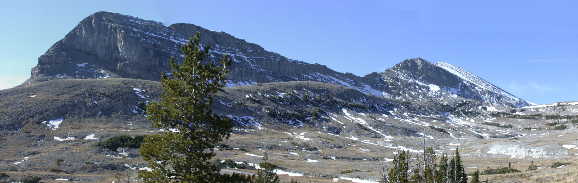
Panorama, west access to Scapegoat plateau
I had plans to do a number of pack trips this summer, but none of them panned out. We had serious forest fires most of the summer, and much of the back country was closed, so I did more work thinning trees to reduce the fire hazard around the place. I had piles of dry, cut up saplings lieing all over, and finally time to get away, but then a lightning storm started fires across the river behind the house. It didn't seem like a good idea to take off with a fire threatening to come down the mountain and dry tinder sitting around, so I decided to stay home and finish cleaning up.
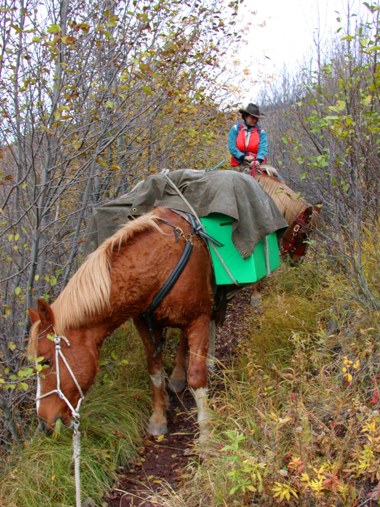
Finally, in mid September we got enough rain to quench the fires. Dona and I grabbed some food and our sleeping bags, packed the horses, and headed up the North Fork. My goal was to try to get up on Scapegoat Mountain from the west side. I'd been up from two places on the east side, and knew it was supposed to be possible from the west side. That makes a traverse possible...
Since we only had two horses with us, we packed one and rode one, and switched off hiking.
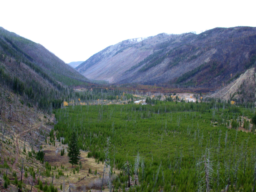
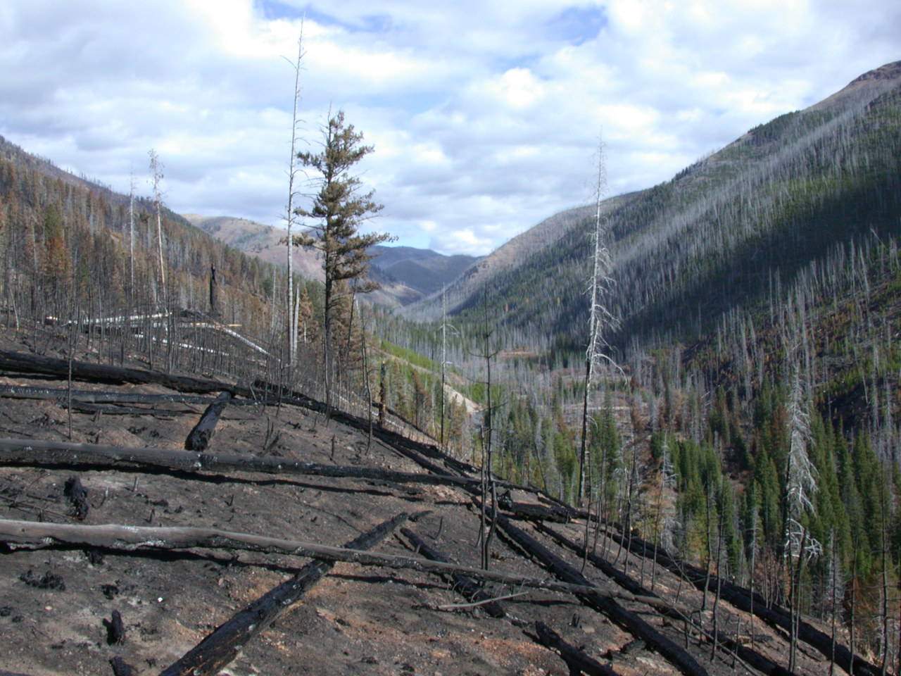
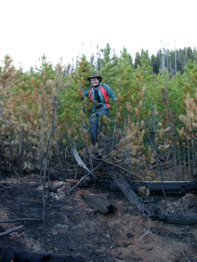
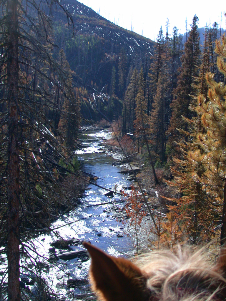
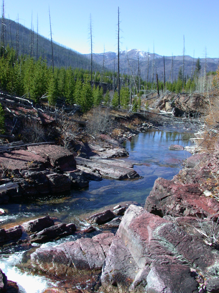
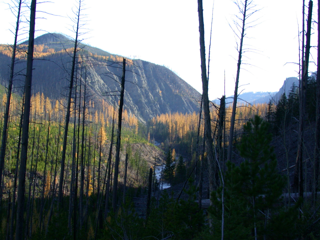
A mile or two above the pack bridge we got into some places recently burned by the Conger fire. Most of it had already burned in the 1988 Canyon Creek fire. The area was starting to take on the patchwork mosaic of a natural area, although it's going to have to go a few more generations to really get there.
I had hoped the fire would burn out the small lodgepole on the flat below the North Fork patrol cabin, so it would revert to a big meadow. Unfortunately, that didn't happen. The cabin and its surrounding area was untouched, probably because fire crews steered the fire up the hill behind it.
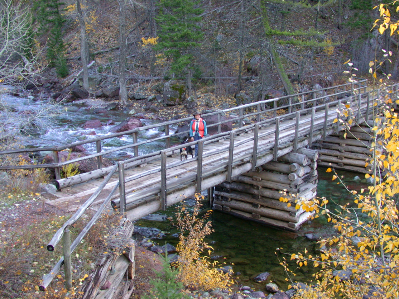
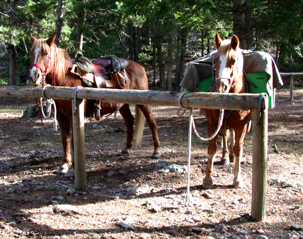
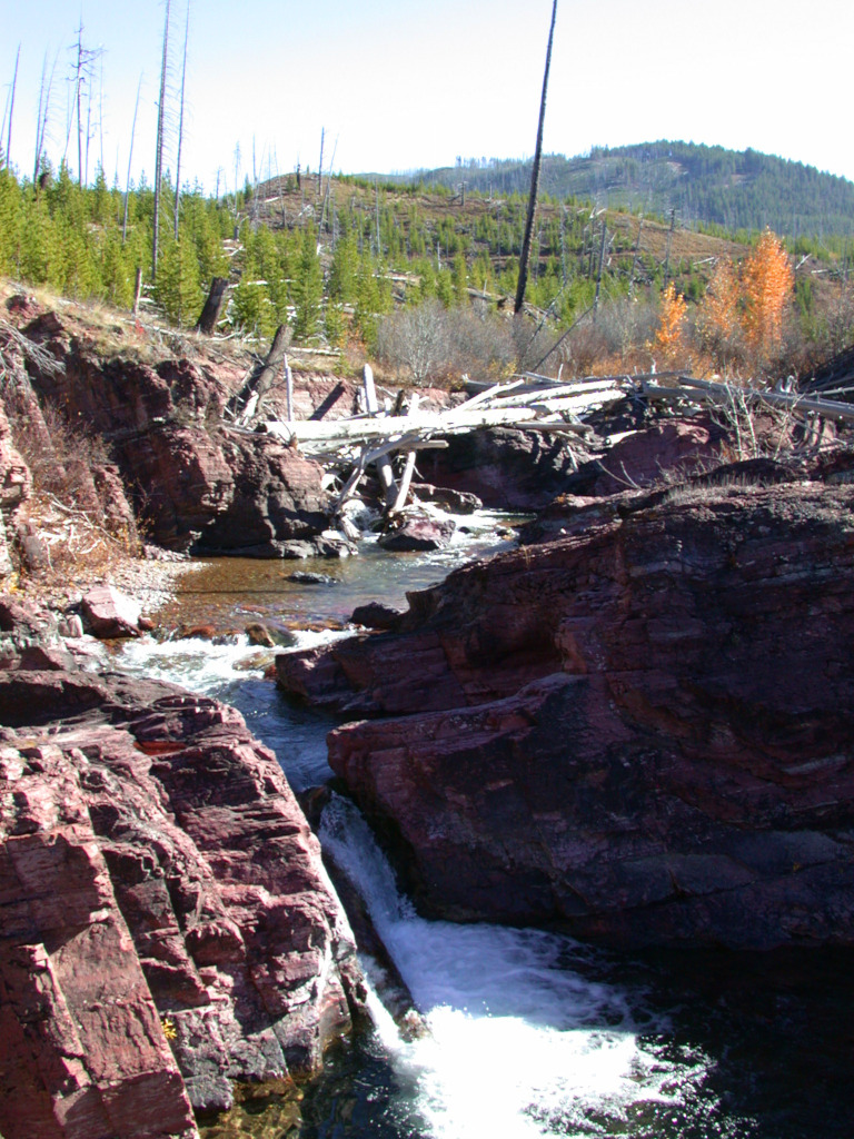
We had a bite to eat at the cabin, tightened Daiquiri's pack, and headed up to the falls of the North Fork.
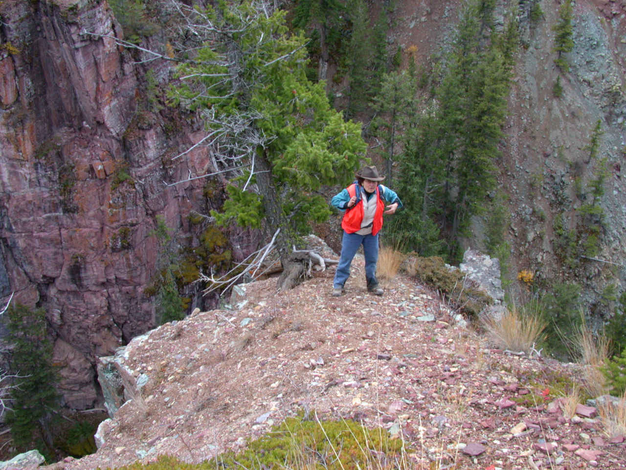
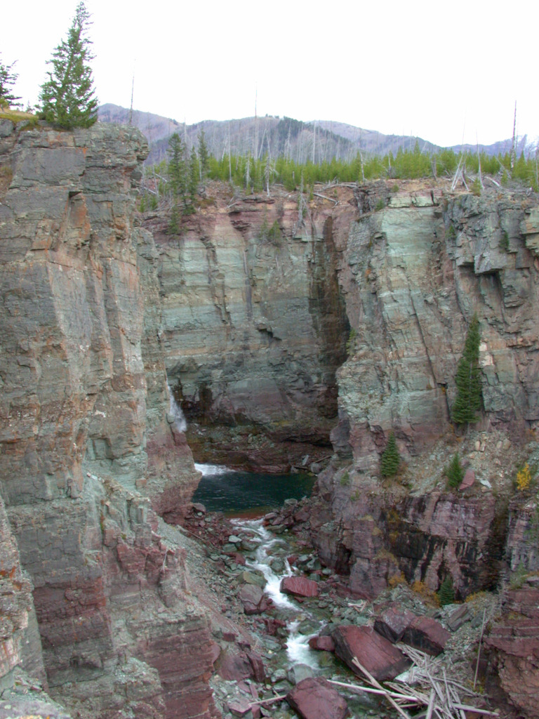
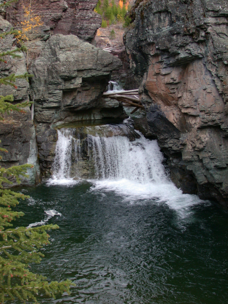
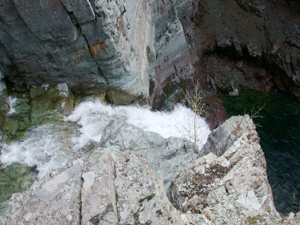
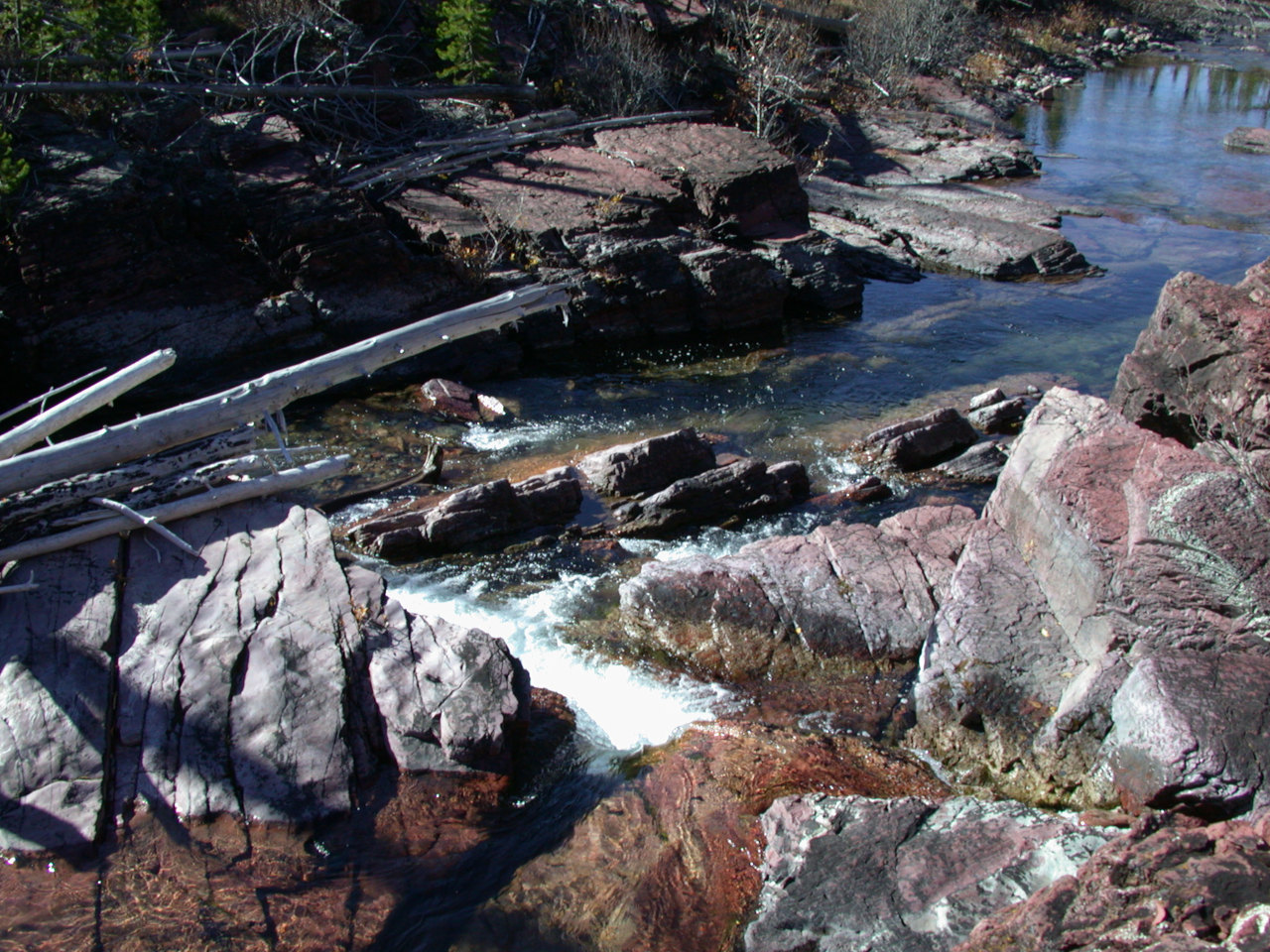
You couldn't really see the falls very well. We climbed down to the top of the falls, where we had a nice view of the small falls dumping into the big pool immediately above the main falls; and a scary great view peeking over the top. But no good view of the whole cascade. One of these years I will go up there late in the season and hike and wade up the river so I get a proper view.
Above the falls we soon got into the recent burn. It was interesting seeing what burned and what didn't. Much of the burned timber from the 1988 fire had fallen on the ground, and most of it had burned. There were white streaks of ash amid black, burned soil; all that was left of former logs lieing on the ground. Yet along much of the trail, there was a thin patch of green. I wondered if fire crews monitoring things had used backpack sprayers to quench the fire as it neared the trail, using the trail as a fireline. Yet even in places where things were burned on both sides of the trail, sometimes there was a patch a foot or two wide which wasn't burned.
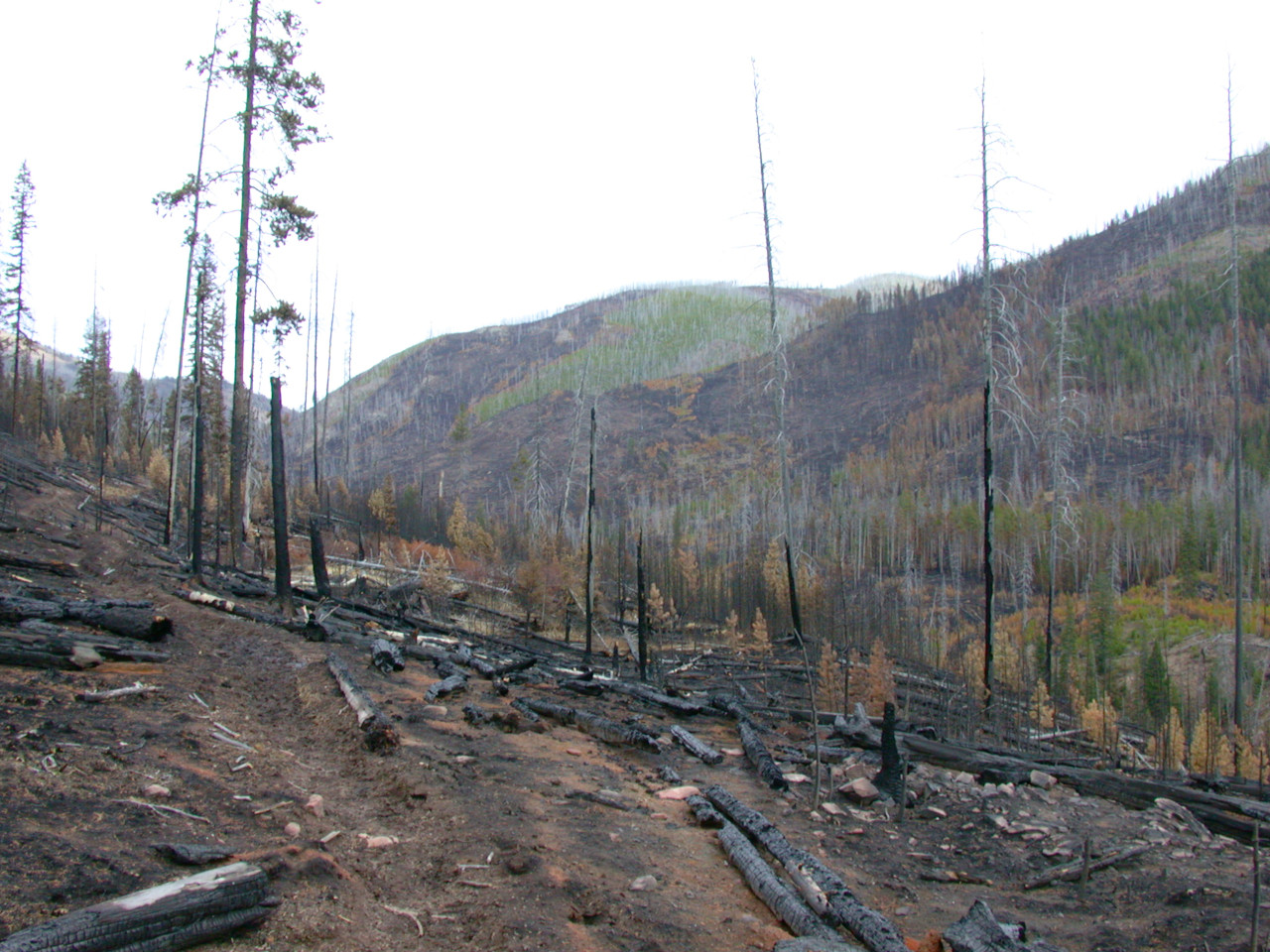
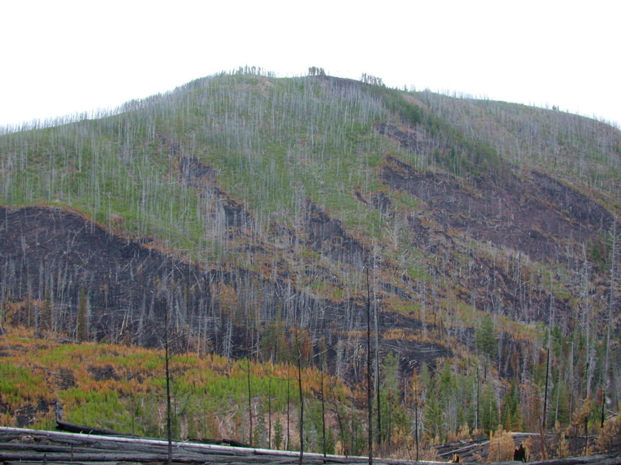
Our original plan was to camp near Carmichael Cabin, but Dona was having some trouble with her feet and Daiquiri was getting tired, so when we got to a little unburned meadow near the river we made camp. I've wanted to camp there in previous years, before all of this got burned; it's a little late for that... It was a still pleasant camp with live trees around and the river nearby.
But with the camp where it now was, getting up Scapegoat was going to be more of an effort. My original plan was to hike from camp, but it was a bit far for that. Dona suggested we try climbing Mt. Evans, right across the trail from camp. I've wanted to do that but have shied away from it because of all the timber. It's more accessible from the north, in the Dabrota Creek drainage, but I've never camped there either. Anyway, things were now much more open. I had reservations about how far we'd get, envisioning lots of half burned thickets, but it seemed like a good thing to do since we had the opportunity.
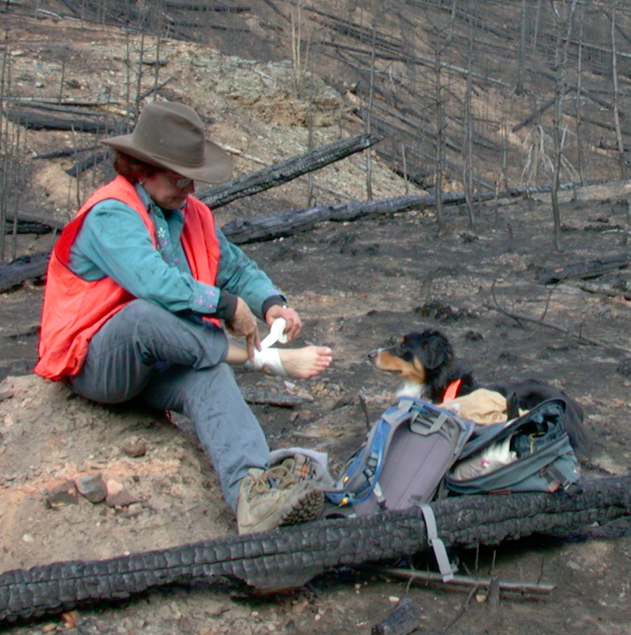
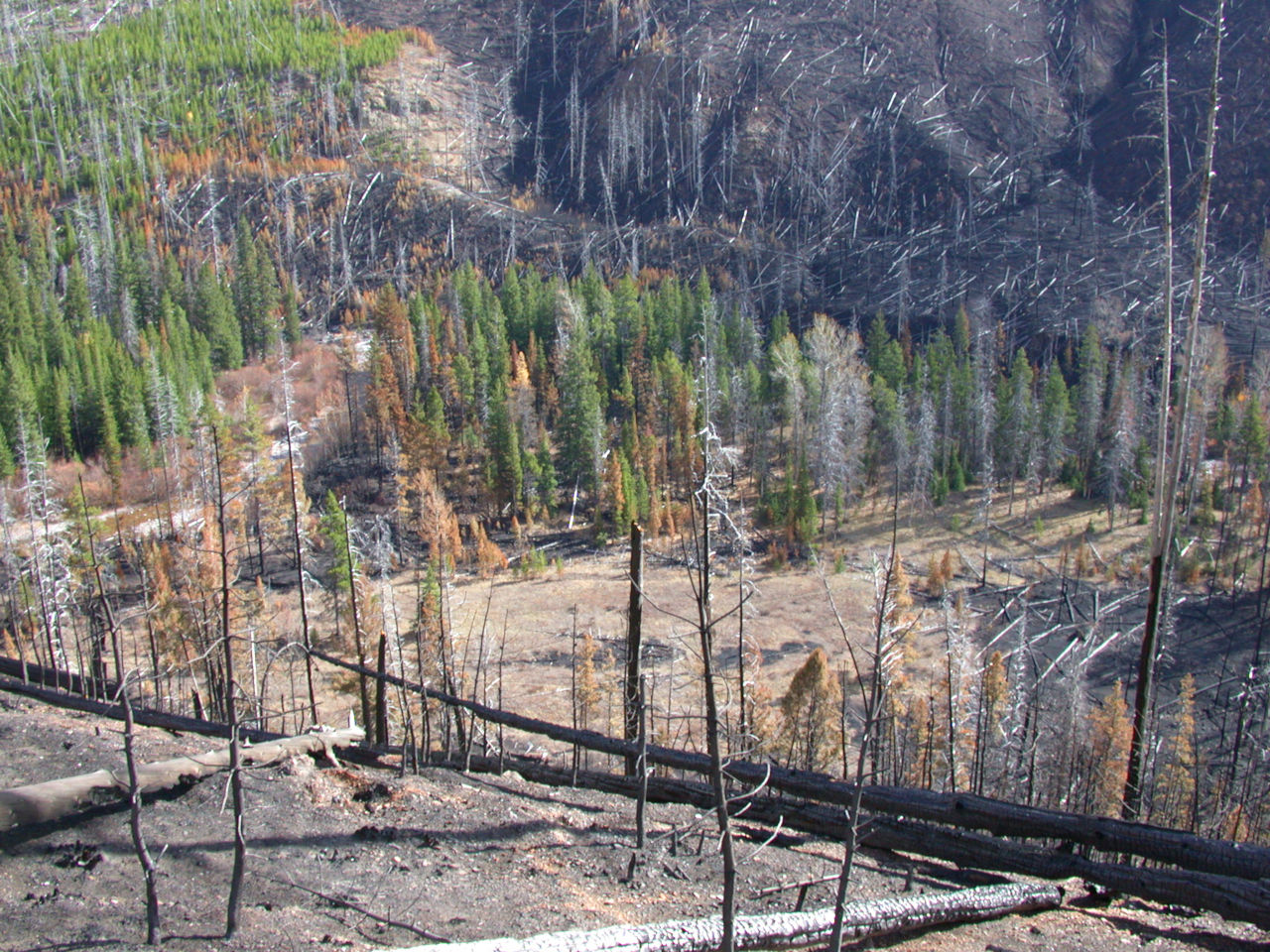
Dona's ankle was still giving her some trouble, so we stopped and she did some preventative maintenance... We had a nice view looking down on camp; we had the only unburned area for quite a bit of river bottom in both directions.
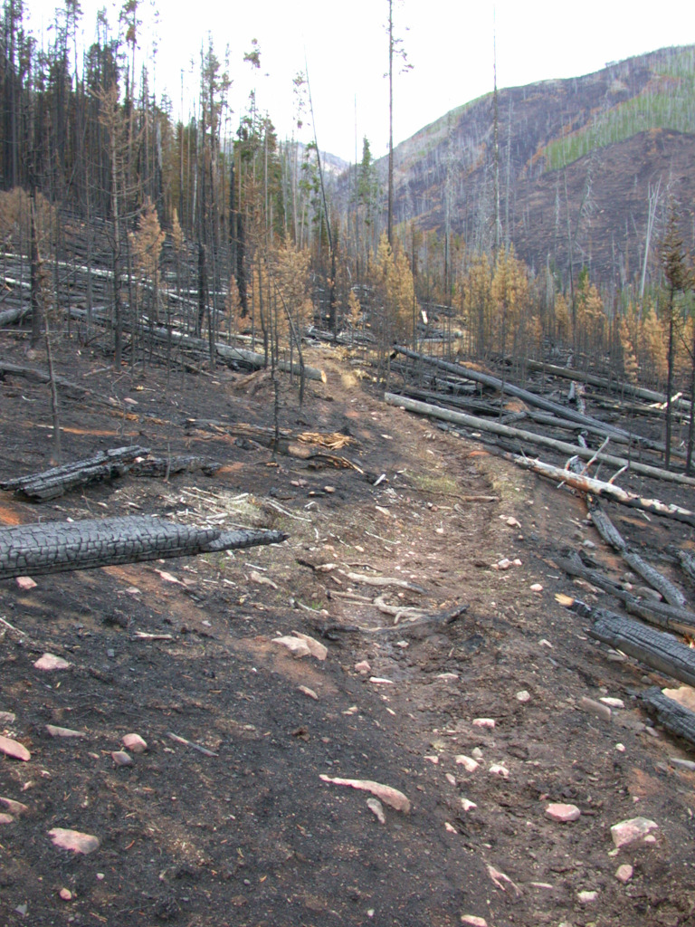
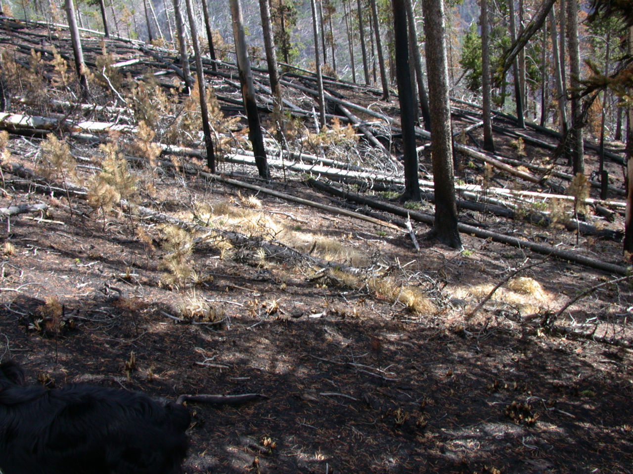
Hiking through the burn we found small patches of unburned grass. Why were those little patches spared? What a blessing; seed sources for renewal.
As we inched our way up, we had a great view of Red Mountain to the south. There was new snow on the higher peaks from the rain we had received lower down the week before.
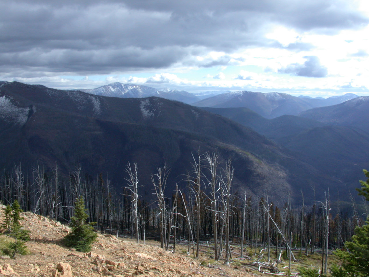
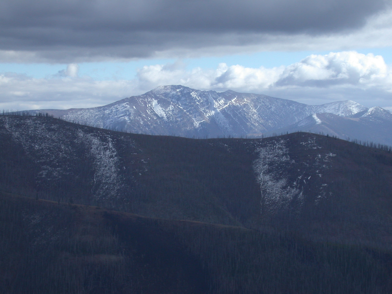
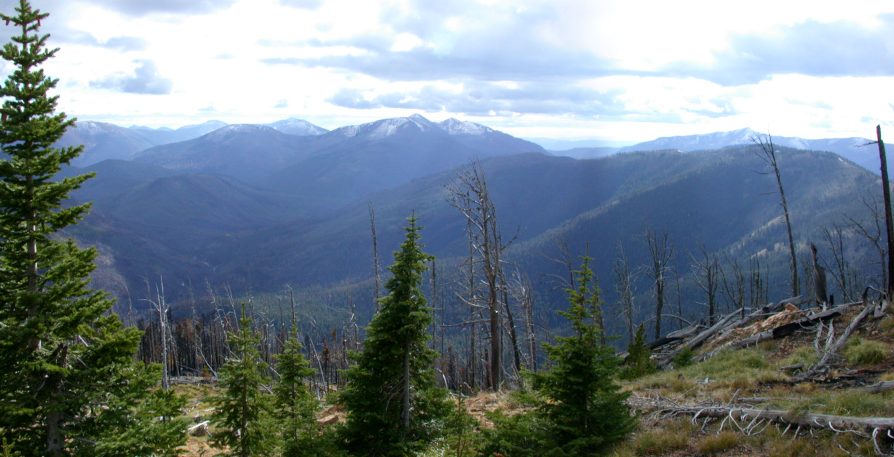
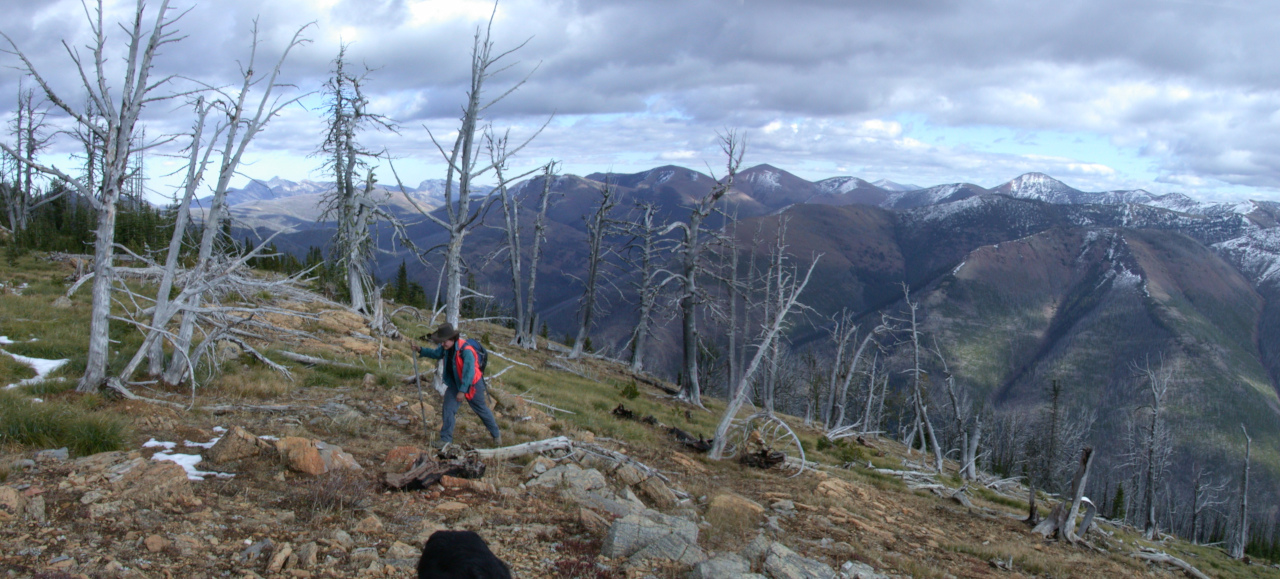
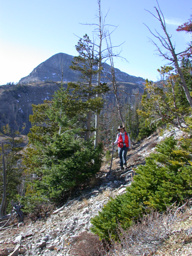
We eventually emerged onto the scree slopes of the upper mountain, and poked our heads over the top. We had an outstanding view of the Scapegoat massif, a huge chunk of rock extending for several miles from north to south. It was late in the day, and we were on a false summit, about a mile from the true summit. It was "right there," but it would take some time to get there, and we would be coming down in the dark, and Dona's ankle wasn't getting any better. So we decided to enjoy a late snack and then head down.
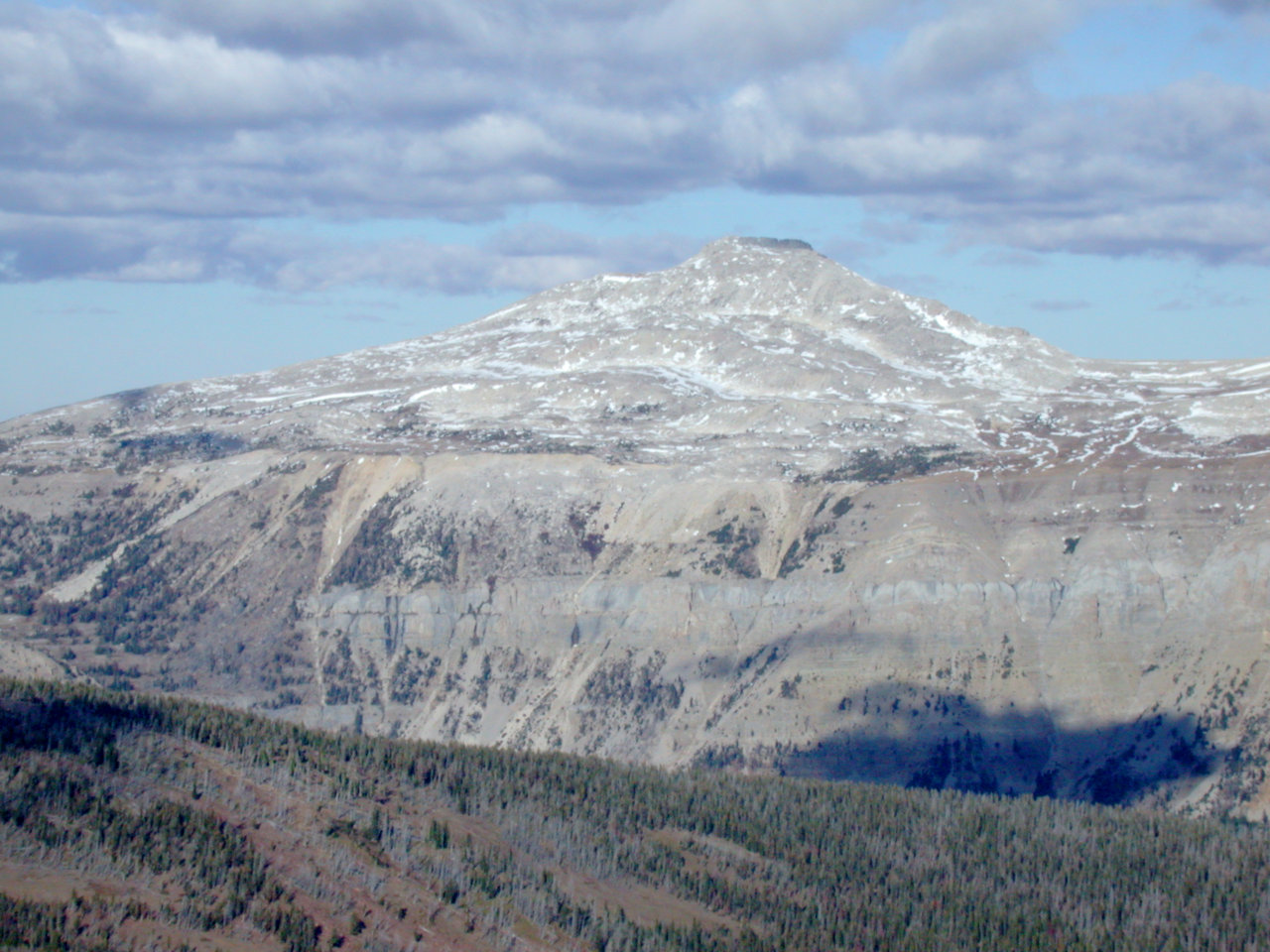
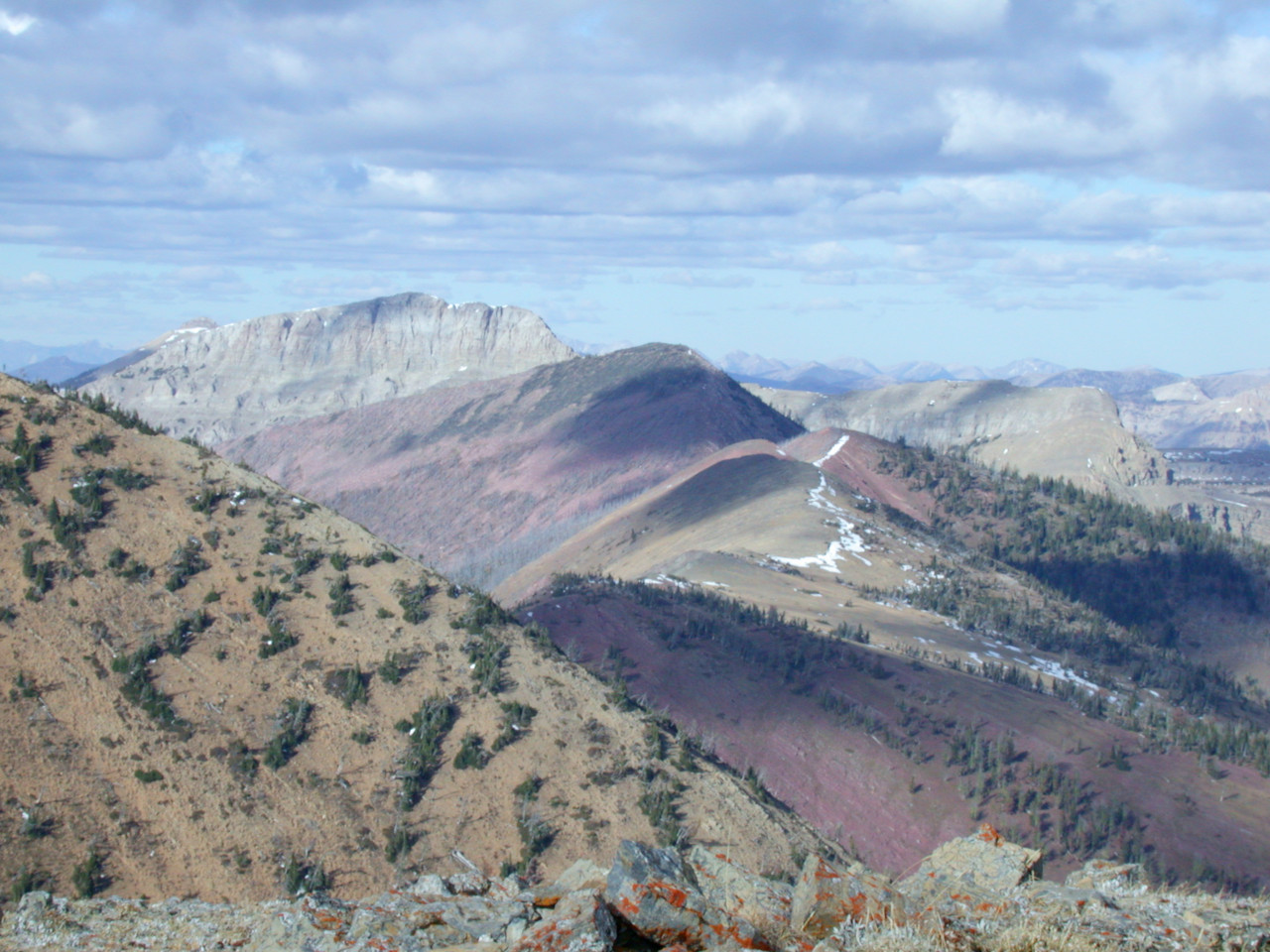

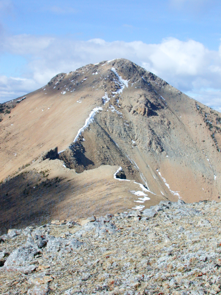
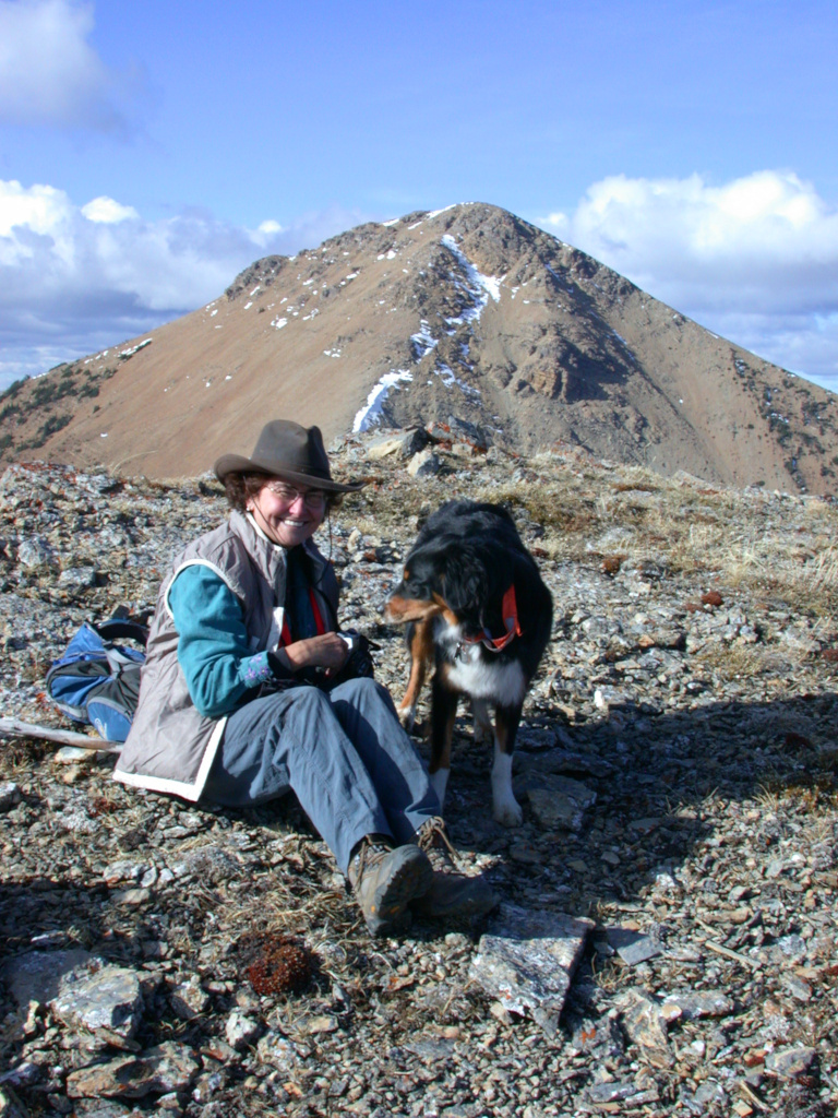
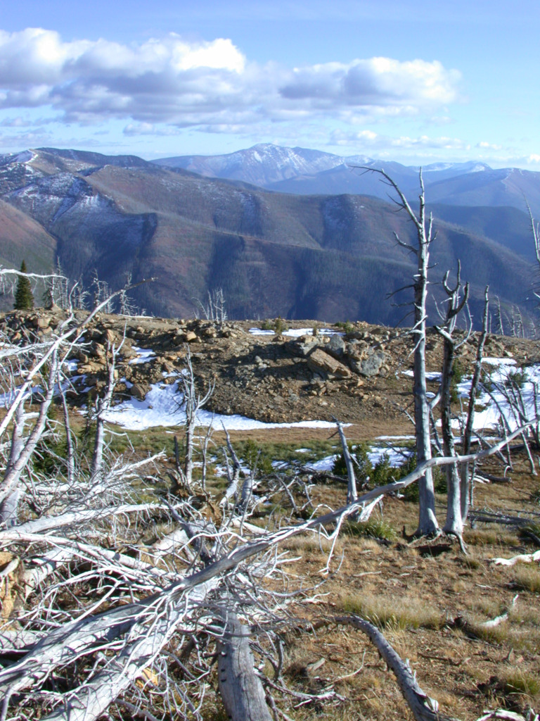
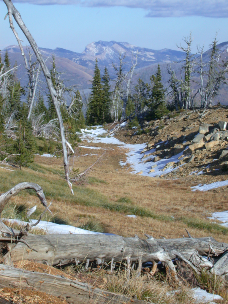
That night we decided to attempt getting up Scapegoat. Dona rode Poppie; I rode Daiquiri bareback. From Carmichael Cabin we headed up Dabrota Creek. We had lunch below what looked like the only way up onto the upper plateau.
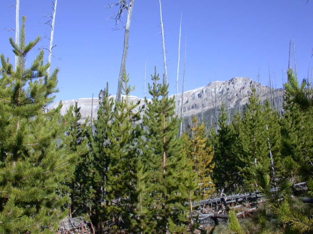
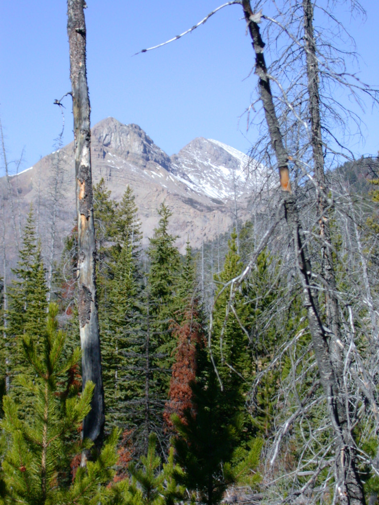
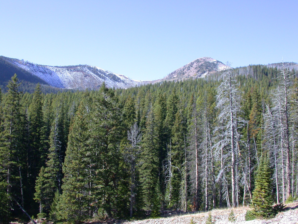
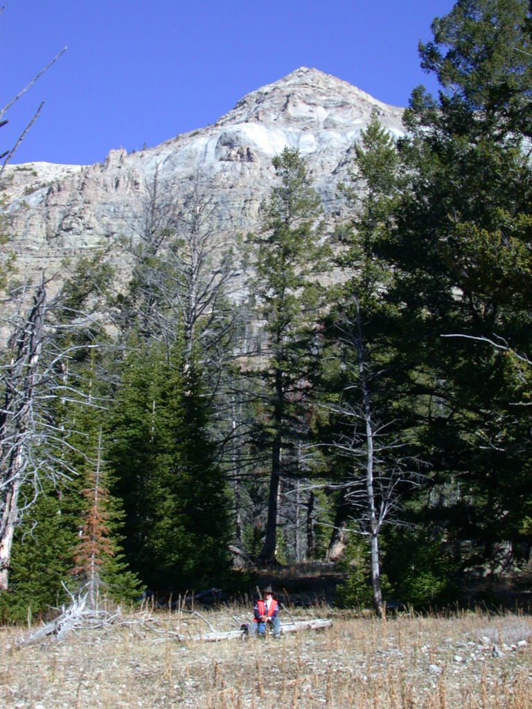
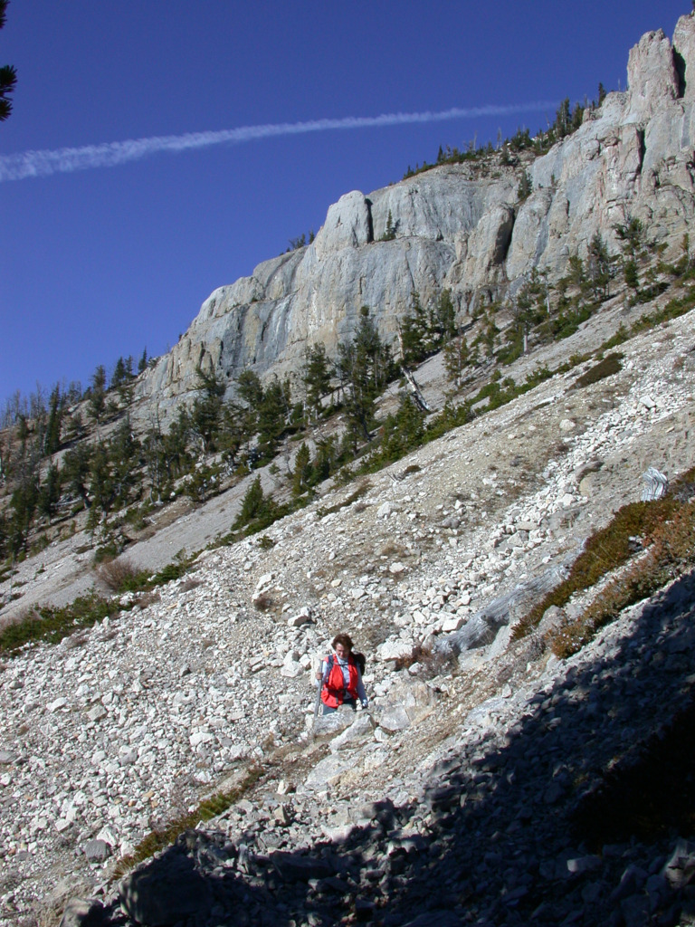
After lunch, we scrambled up the scree and through the bushes towards the break in the west wall of the Scapegoat massif. As we worked our way up, the view kept getting better, and it soon became clear we would make it.
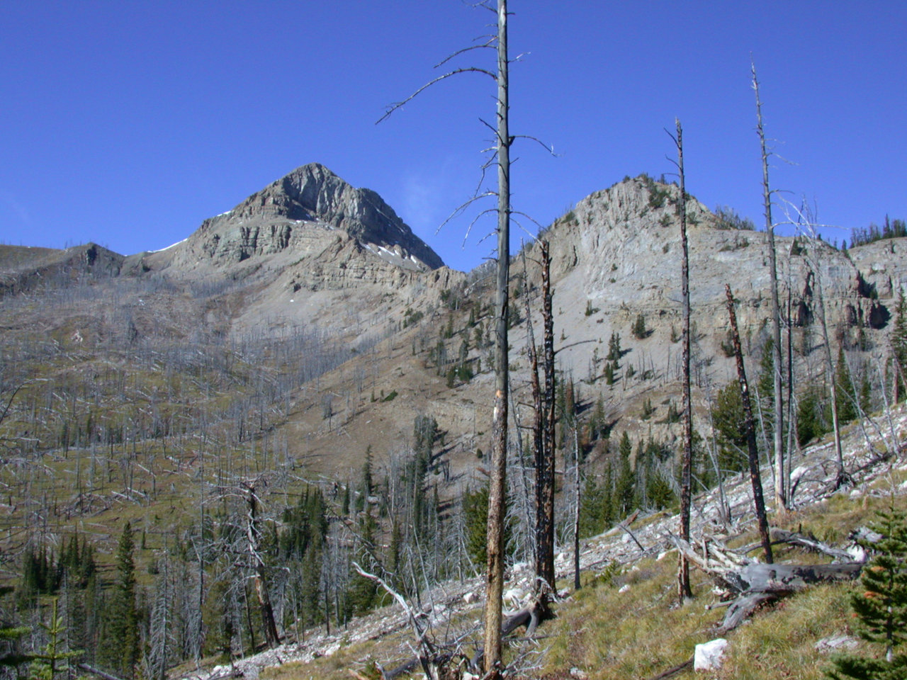
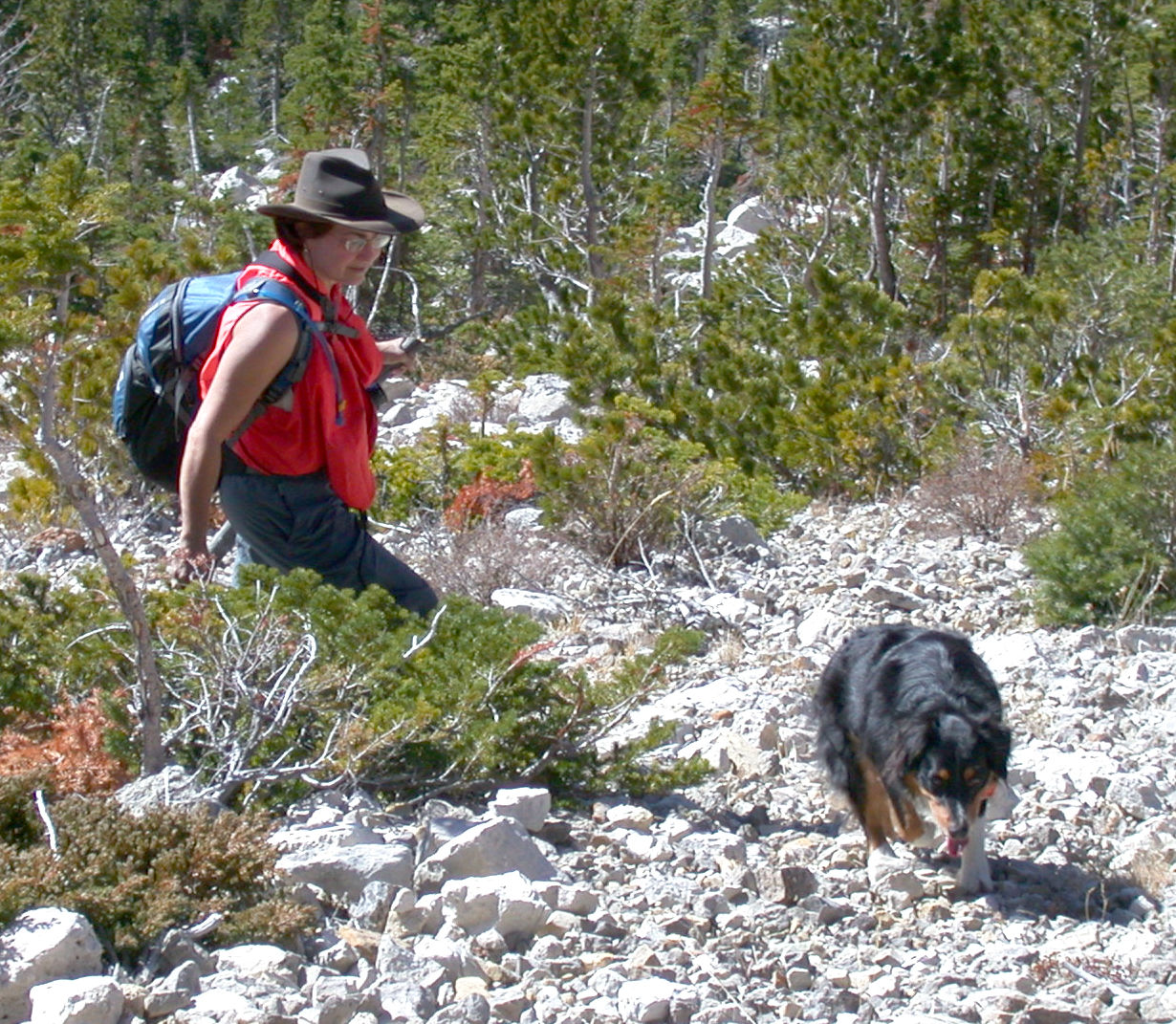
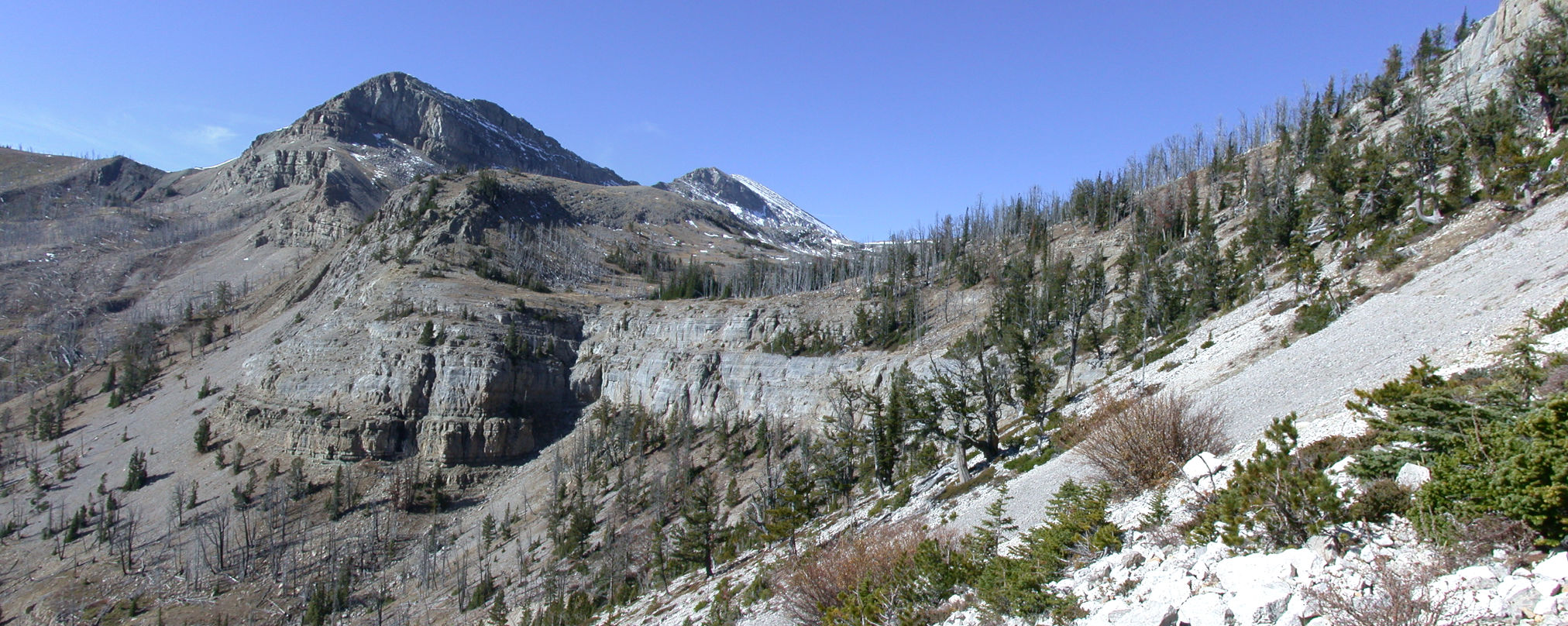
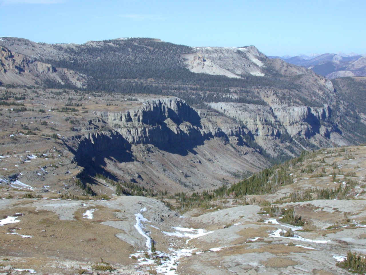
The slope we were on opened into a large basin on the upper plateau. I expected to see grizzlies or goats or sheep grazing, but we didn't see much. It is a cool place; I'd love to go back in summer.
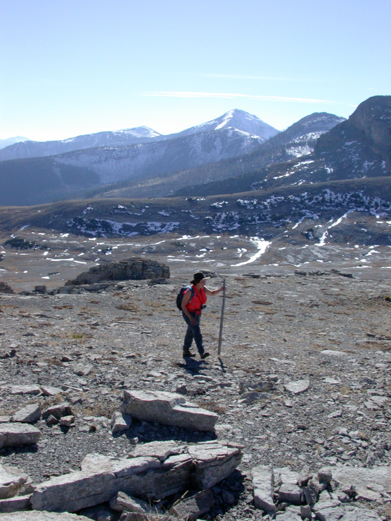
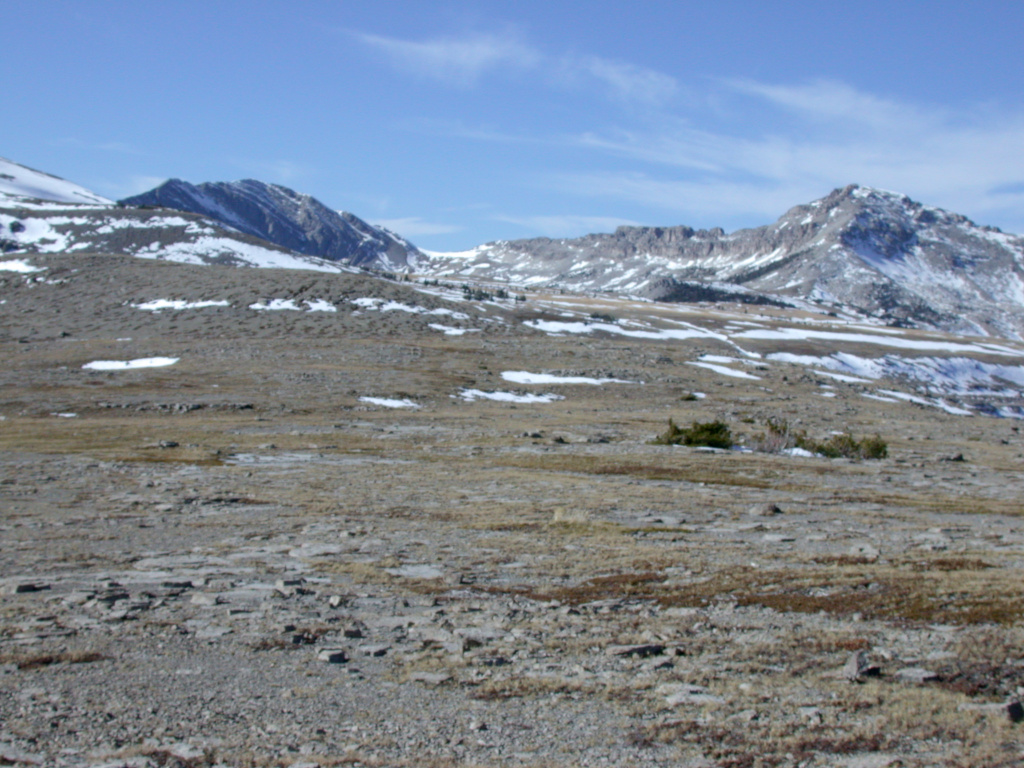
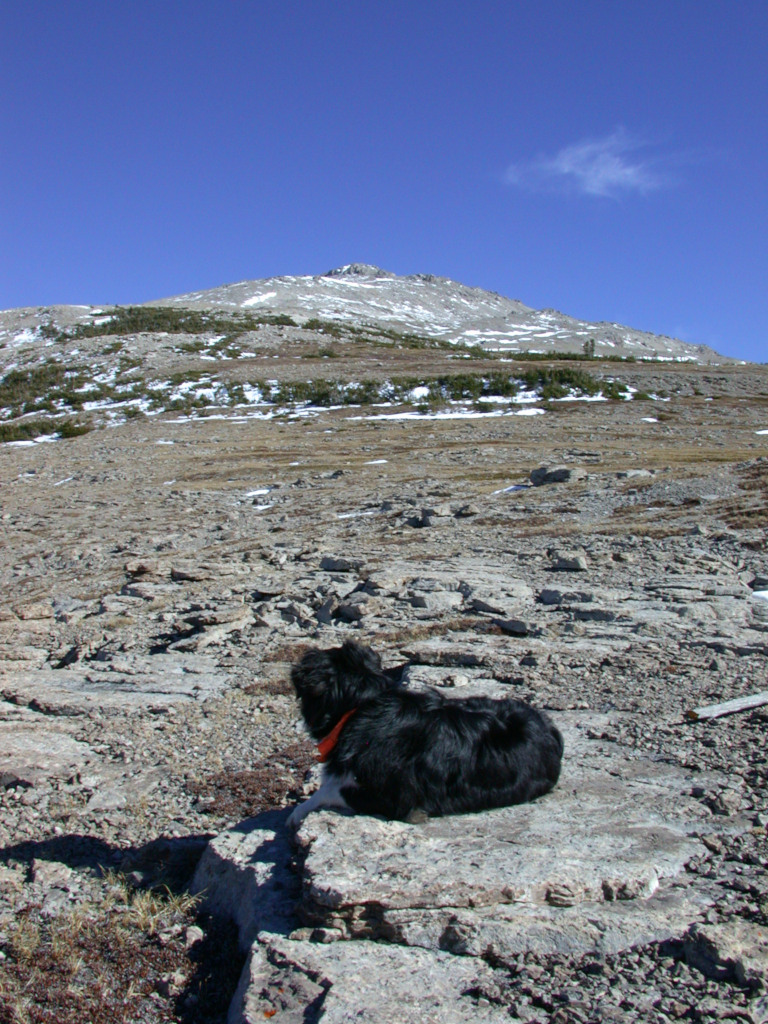
We crossed the basin and climbed a bit more to get on the plateau proper, where we had a great view down into a similar basin above the Green Fork on the other side -- one of the places where I'd come up last year. And the top of Scapegoat was just a mile or so to the south of us. Unfortunately, as on our hike up Mt. Evans, it was late again, so we saved the summit for another day and headed back down.
That was it for our short pack trip; we headed out the next morning. The horses were glad to be heading home, and we made good time.
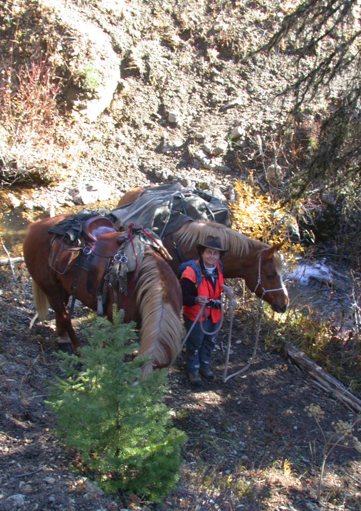
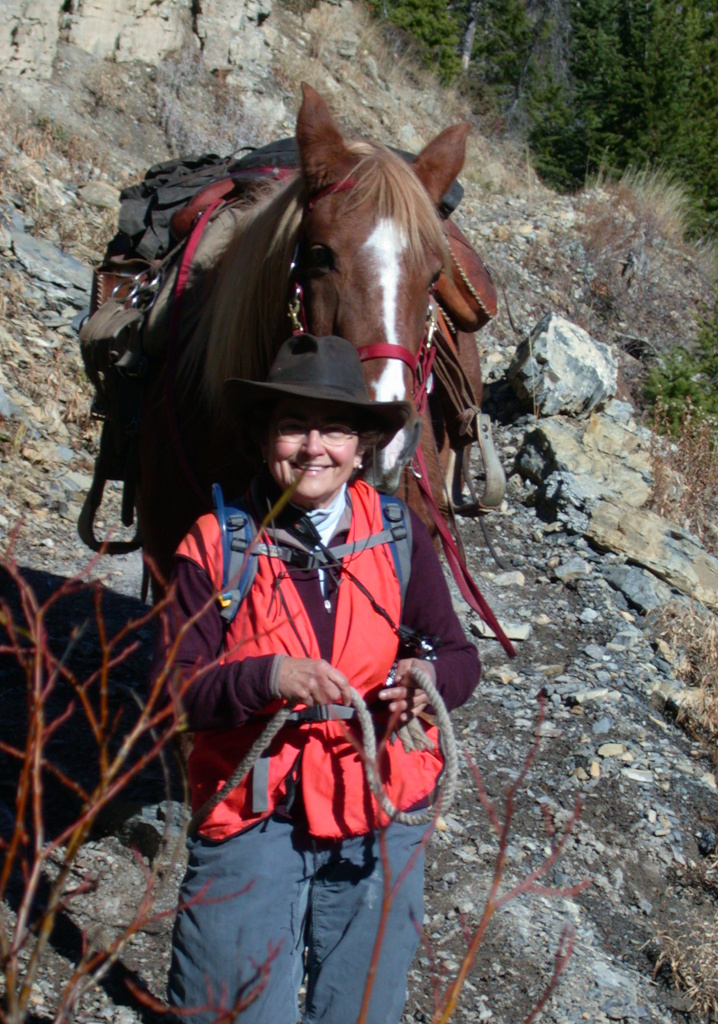
We stopped for lunch above the confluence with the East Fork. Then in short order we were back at the cabin and on down to the trailhead.
A great trip, and something to whet my appetite to look forward to next year...